
use +/- or mouse scrollwheel for magnification. click here for full-sized image.
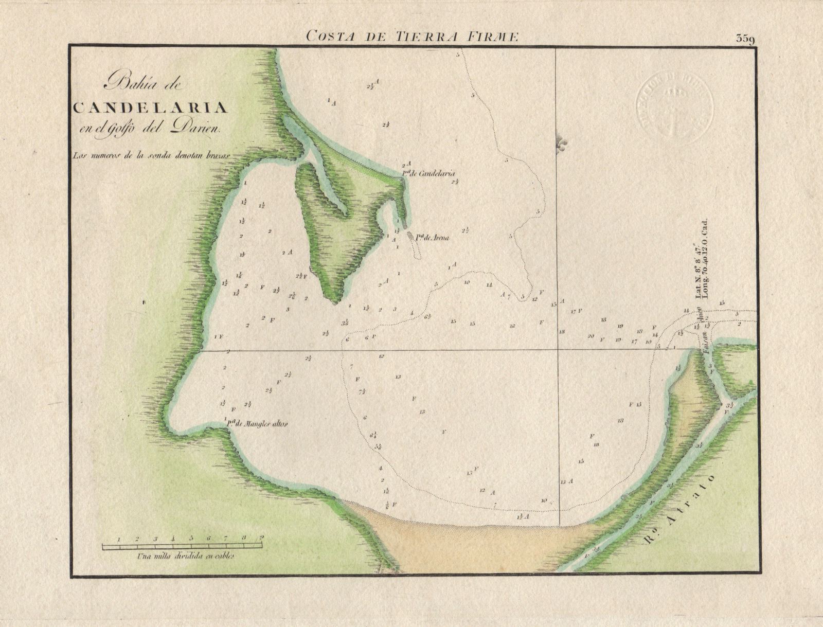
Bahia de Candelaria en el Golfo del Darien
This item has been sold. Please check our homepage for currently available maps.
This very detailed, early 19th-century Spanish chart of Candelaria Bay in the Gulf of Uraba (Darien), in what is now Colombia, includes coastal features, many depth soundings, and the mouth of the Rio Atrato. From the Portulano de la America Septentrional, the Spanish Admiralty's scarce sea-atlas of the coasts of North and Central America. Item Number: GG1883
Cartographer: Direccion de Hidrografia
Place & Date: Madrid / 1809
Size: 9 1/8" x 7 1/8 "
Condition: outline and wash color; excellent condition
Price: SOLD