
use +/- or mouse scrollwheel for magnification. click here for full-sized image.
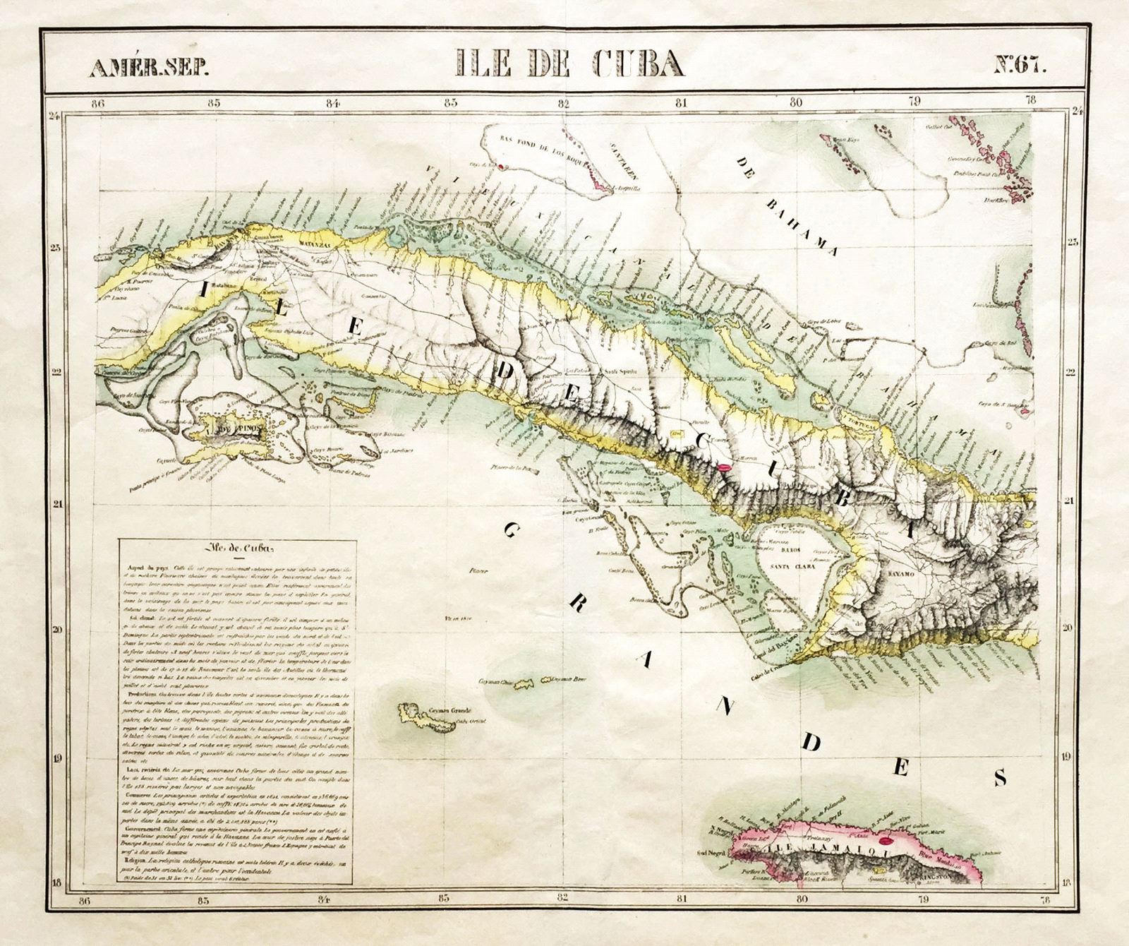
Ile de Cuba
This item has been sold. Please check our homepage for currently available maps.
A scarce, beautifully colored map of the central part of Cuba, extending from west of Havana to east of Bayama, from Vandermaelen's world atlas. The inset text block describes the island's climate, soil, topographie, produce, economy, government, and religion. An important early 19th-century Cuba map in pristine condition. Item Number: G740
Cartographer: Philippe Vandermaelen
Place & Date: Brussels / 1827
Size: 21 1/2" x 18 1/4"
Condition: wash color; light overall age toning
Price: SOLD