
use +/- or mouse scrollwheel for magnification. click here for full-sized image.
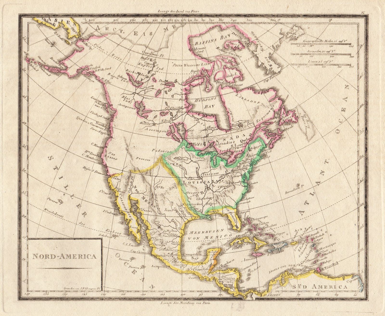
Nord-America
This item has been sold. Please check our homepage for currently available maps.
A very interesting German map of North America in the early 1820s. The US has acquired the Louisiana Territory from France but the northwestern part of the territory appears truncated; Texas is still part of Mexico (it would gain its independence in 1836), and Florida is still Spanish (it would become a territory of the U.S. in 1821). British North America is shown as extending all the way down to San Francisco. Item Number: G703
Cartographer: J.N. Champion
Place & Date: / 1820 (?)
Size: 9 7/8" x 8 1/8"
Condition: outline color; overall age toning
Price: SOLD