
use +/- or mouse scrollwheel for magnification. click here for full-sized image.
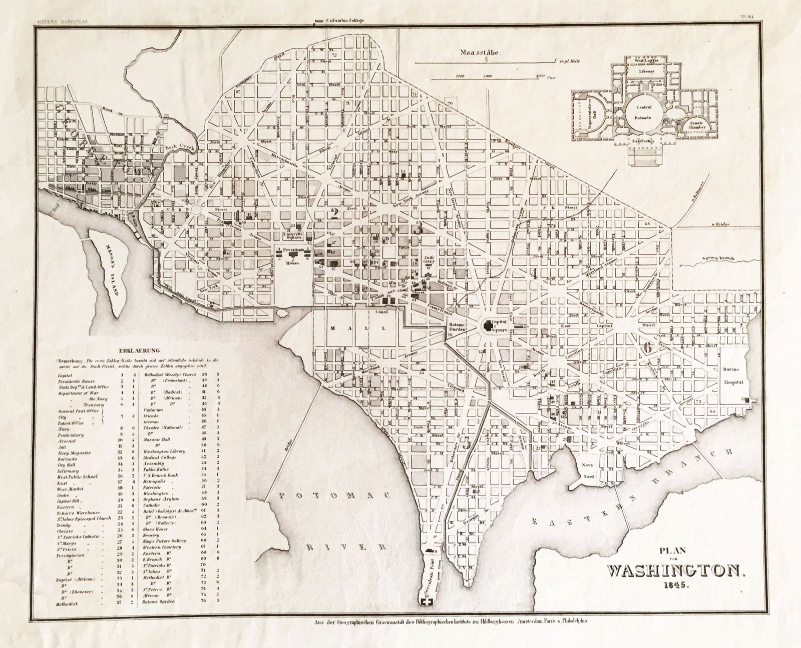
Plan of Washington 1845
This item has been sold. Please check our homepage for currently available maps.
A wonderful street plan of Washington, D.C., from the 1845 edition of Meyer's Hand-Atlas. Includes a plan of the Capitol building and an extensive numbered key to the city's principal sites and monuments. Item Number: G676
Cartographer: Bibliographischen Instituts.
Place & Date: Hildburghausen / 1845
Size: 14 1/2" x 11 3/4"
Condition: b&w; staining and tears in lower right corner of wide margin not affecting image
Price: SOLD