
use +/- or mouse scrollwheel for magnification. click here for full-sized image.
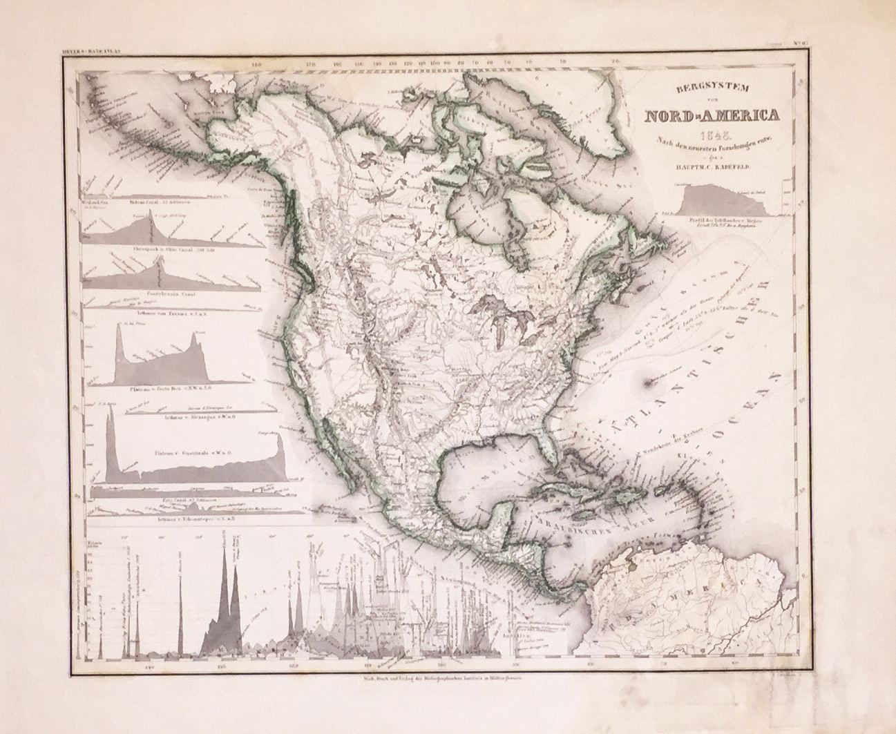
Bergsystem von Nord-America
This item has been sold. Please check our homepage for currently available maps.
The detailed physical map of North America from Meyer's Hand-Atlas, with canal profiles and a chart of relative heights of mountains. Item Number: G671
Cartographer: Radefeld / Bibliographischen Instituts.
Place & Date: Hildburghausen / 1848
Size: 14" x 11 5/8"
Condition: original outline color; staining and overprinting on lower right corner of map and in margins
Price: SOLD