
use +/- or mouse scrollwheel for magnification. click here for full-sized image.
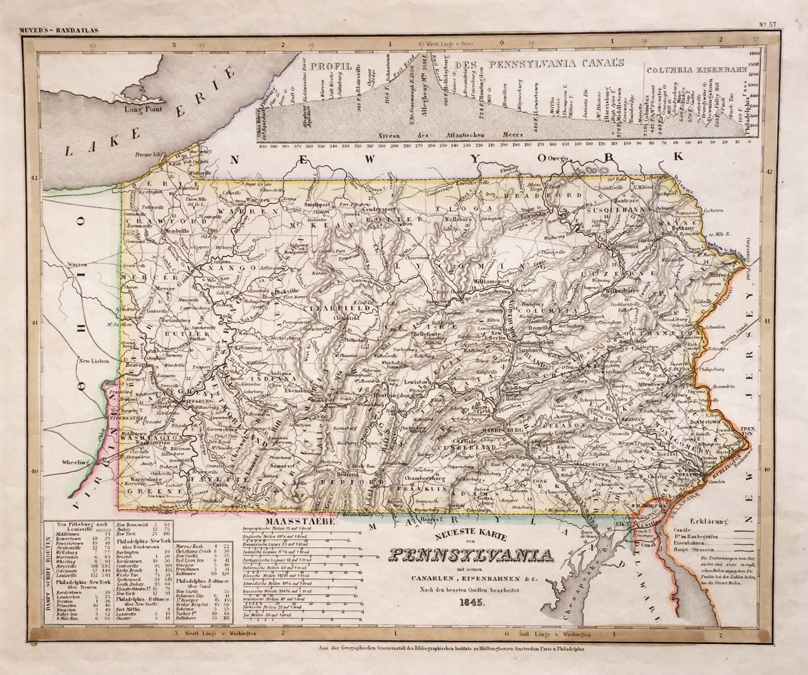
Neueste Karte von Pennsylvania
This item has been sold. Please check our homepage for currently available maps.
The beautifully detailed and colored map of Pennyslvania "with its canals, railroads, etc.," from the 1856 edition of Meyer's Hand-Atlas. Includes a profile of Pennsylvania canals and steamship routes between Pittsburgh and Louisville, Philadelphia and New York, etc. Item Number: G663
Cartographer: Bibliographischen Instituts.
Place & Date: Hildburghausen / 1845
Size: 14 5/8" 11 3/4"
Condition: original outline color; light overall age toning and minor spotting, mostly confined to margins
Price: SOLD