
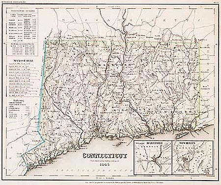
Connecticut
This item has been sold. Please check our homepage for currently available maps.
The beautifully detailed and colored map of Connecticut from Meyer's Hand-Atlas. Includes a key to canals, railroads, roads and paths and lists of county and county-town populations, as well as inset plans of the Hartford and New Haven areas. Item Number: G662
Cartographer: Bibliographischen Instituts.
Place & Date: Hildburghausen / 1846
Size: 14 1/2" 11 3/4"
Condition: original color; some staining in upper right margin
Price: SOLD