
use +/- or mouse scrollwheel for magnification. click here for full-sized image.
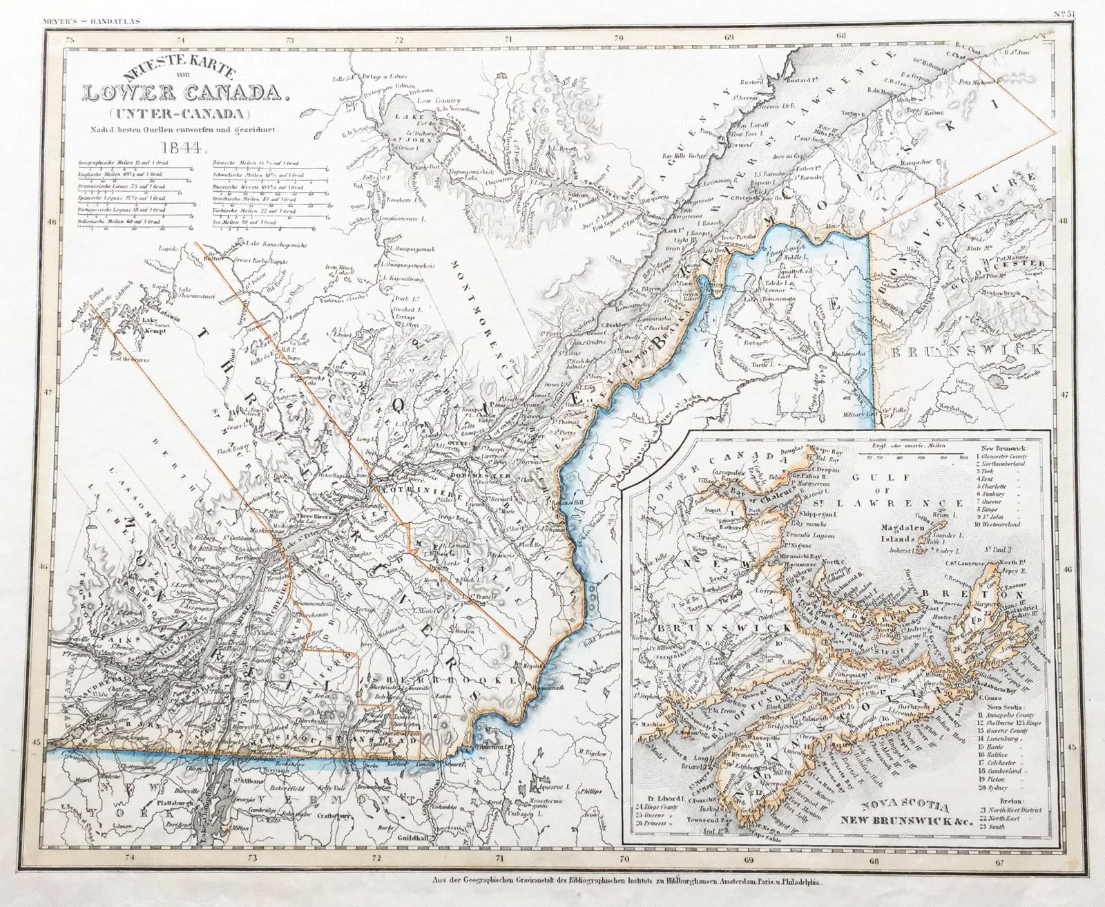
Lower Canada (Unter-Canada)
This item has been sold. Please check our homepage for currently available maps.
The superb map of Lower Canada (Quebec) from the 1845 edition of Meyer's Hand-Atlas. Beautifully detailed and colored, the map features an inset of "Nova Scotia, New Brunswick, etc." with a numbered key to major sites. Item Number: G655
Cartographer: Bibliographischen Instituts.
Place & Date: Hildburghausen / 1844
Size: 14 5/8" x 11 3/4"
Condition: original color; minor browning along upper right margin
Price: SOLD