
use +/- or mouse scrollwheel for magnification. click here for full-sized image.
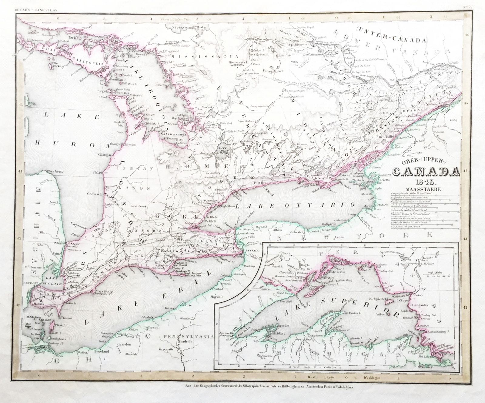
Ober (Upper) Canada
This item has been sold. Please check our homepage for currently available maps.
The superb map of Upper Canada (Ontario) from the 1845 edition of Meyer's Hand-Atlas. Beautifully detailed and colored, the map features an inset of Lake Superior. Item Number: G654
Cartographer: Bibliographischen Instituts.
Place & Date: Hildburghausen / 1845
Size: 14 5/8" x 11 3/4"
Condition: original color; minor browning along upper right margin
Price: SOLD