
use +/- or mouse scrollwheel for magnification. click here for full-sized image.
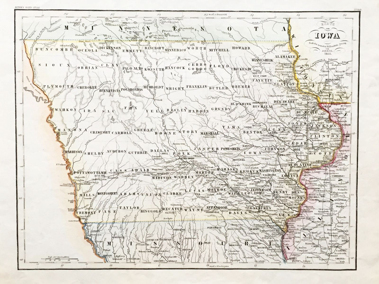
Karte von Iowa
This item has been sold. Please check our homepage for currently available maps.
The beautifully detailed and colored map of Iowa from Meyer's Hand-Atlas, with its counties clearly named. Item Number: G651
Cartographer: J. Graessl. / Bibliographischen Instituts.
Place & Date: Hildburghausen / 1852
Size: 15" x 11 3/8"
Condition: original color; overall age toning, minor browning along margins
Price: SOLD