
use +/- or mouse scrollwheel for magnification. click here for full-sized image.
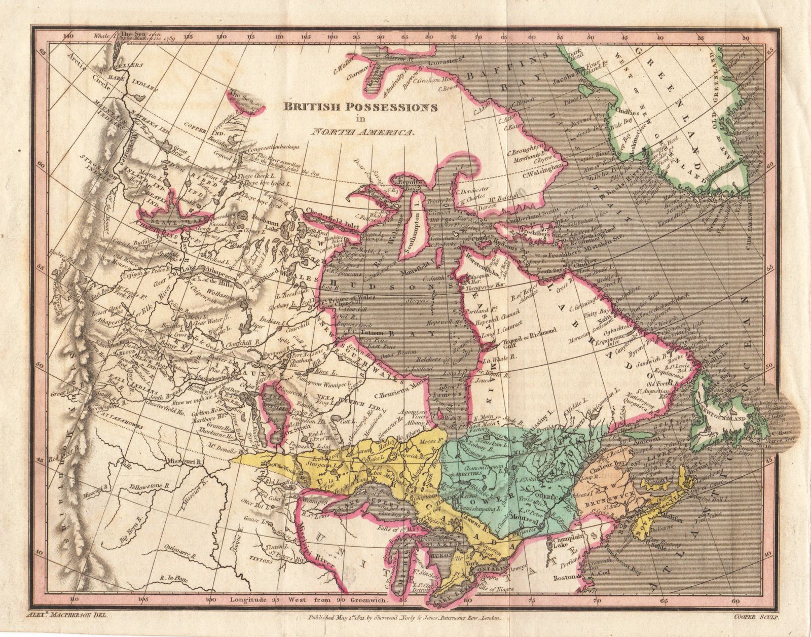
British Possessions in North America
This item has been sold. Please check our homepage for currently available maps.
The Canada map, extending from the Atlantic to the Rockies, from the scarce London edition by Sherwood, Jones, and Co. of The Geography, History, and Statistics of America and the West Indies by the American cartographic publishers Carey & Lea. Item Number: G547
Cartographer: Carey & Lea
Place & Date: London / 1823
Size: 9 1/2" x 7 1/2"
Condition: outline color; Upper and Lower Canada and the Maritime Provinces in full color; light overall age toning and folds as published
Price: SOLD