
use +/- or mouse scrollwheel for magnification. click here for full-sized image.
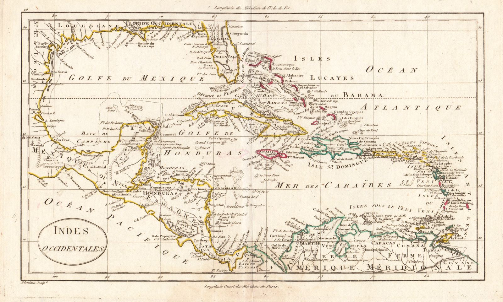
Indes Occidentales
This item has been sold. Please check our homepage for currently available maps.
A well-detailed and nicely colored (in outline) French late 18th/early 19th century map of the West Indies, extending from Florida to the Orinoco. Item Number: G428
Cartographer: Blondeau
Place & Date: Paris / 1790 (circa)
Size: 12 1/2" x 7 1//4"
Condition: outline color; light overall age toning
Price: SOLD