
use +/- or mouse scrollwheel for magnification. click here for full-sized image.
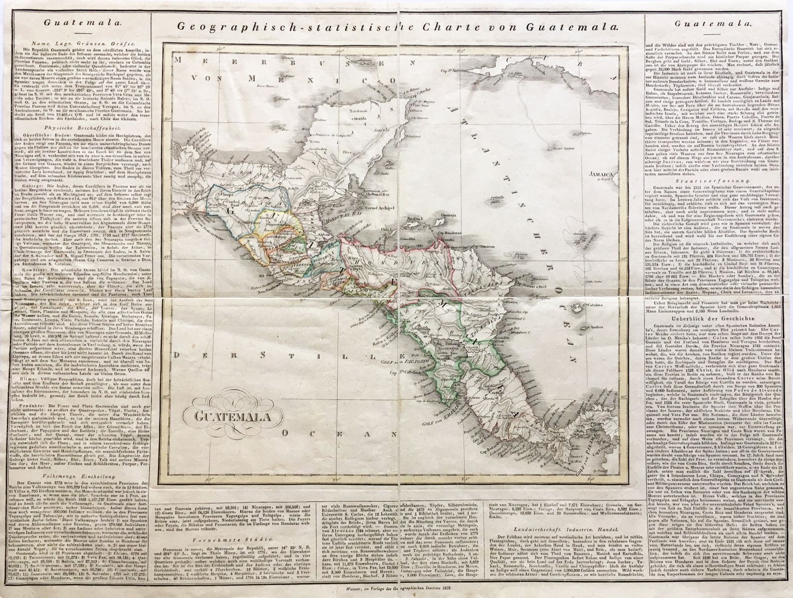
Geographisch-statistiche und historiche Charte von Guatemala
This item has been sold. Please check our homepage for currently available maps.
The Guatemala/Central America map from the scarce German version of the Carey & Lea Geographical, Statistical, and Historical Atlas, published by the Weimar Geographischen Instituts. As in the original American edition, the Weimar map is surrounded on three sides by descriptive text. Item Number: G403
Cartographer: Carl Ferdinand Weiland / Georg Hassel
Place & Date: Weimar / 1823
Size: 13 1/2" x 12 3/4" (map)
Condition: outline color; overall age toning; a linen-backed folding map
Price: SOLD