
use +/- or mouse scrollwheel for magnification. click here for full-sized image.
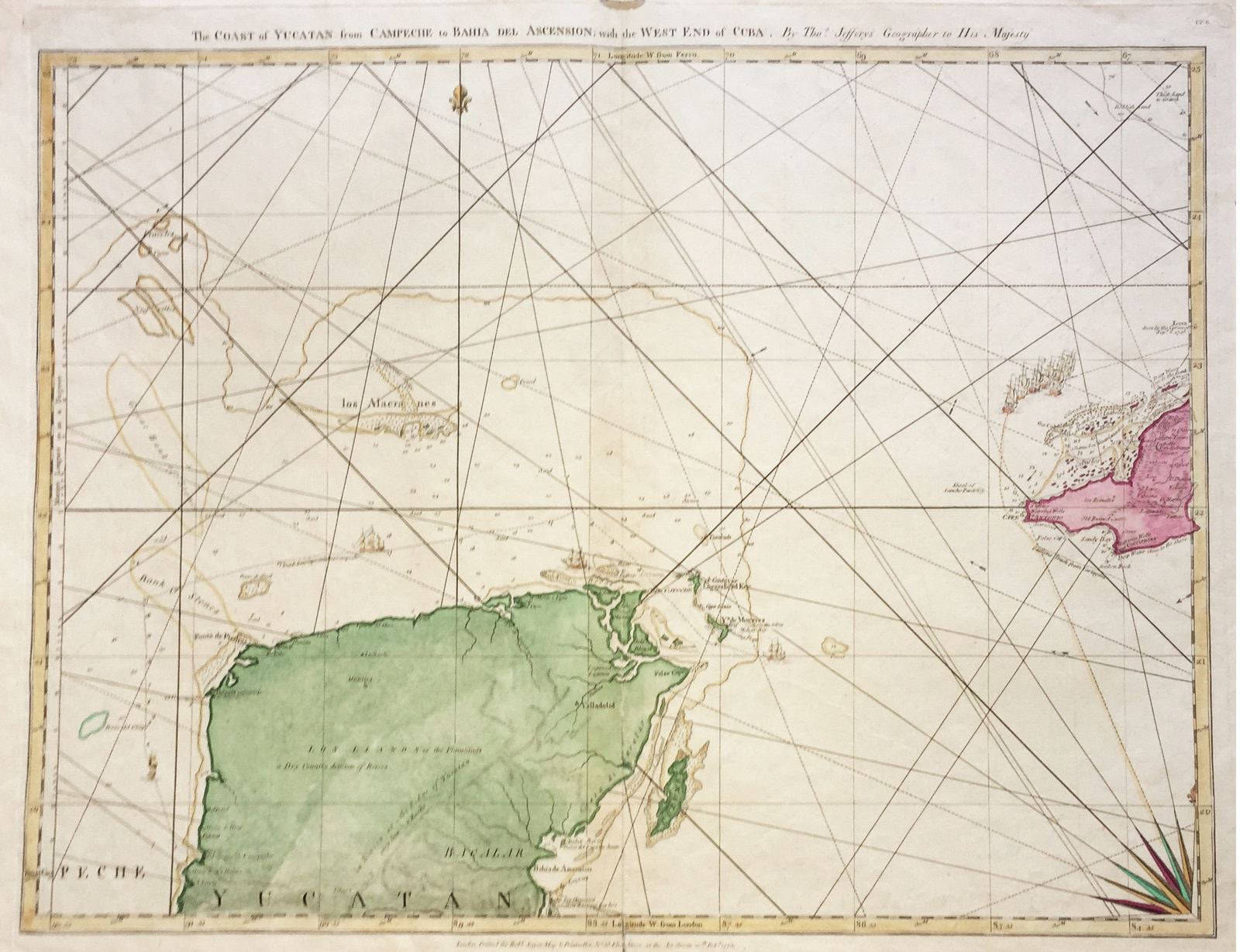
The Coast of Yucatan from Campeche to Bahia de Ascension and the West End of Cuba.
This item has been sold. Please check our homepage for currently available maps.
A superb continuation of Jefferys' magnificent Cuba map, showing the western tip of the island and Mexico's Yucatan Peninsula and its offshore islands, including Cozumel and Isla Mujeres. In this strikingly designed map a flotilla sails toward Havana on the course from Cartagena, while individual ships ply the Mexican waters between Cape Catoche and Campeche. This is the original Jefferys edition of 1775. Item Number: G374a
Cartographer: Jefferys
Place & Date: London / 1775
Size: 24 1/2" x 18 1/2"
Condition: wash color; light overall age toning; worm holes in upper margin, repaired centerfold split in lower margin
Price: SOLD