
use +/- or mouse scrollwheel for magnification. click here for full-sized image.
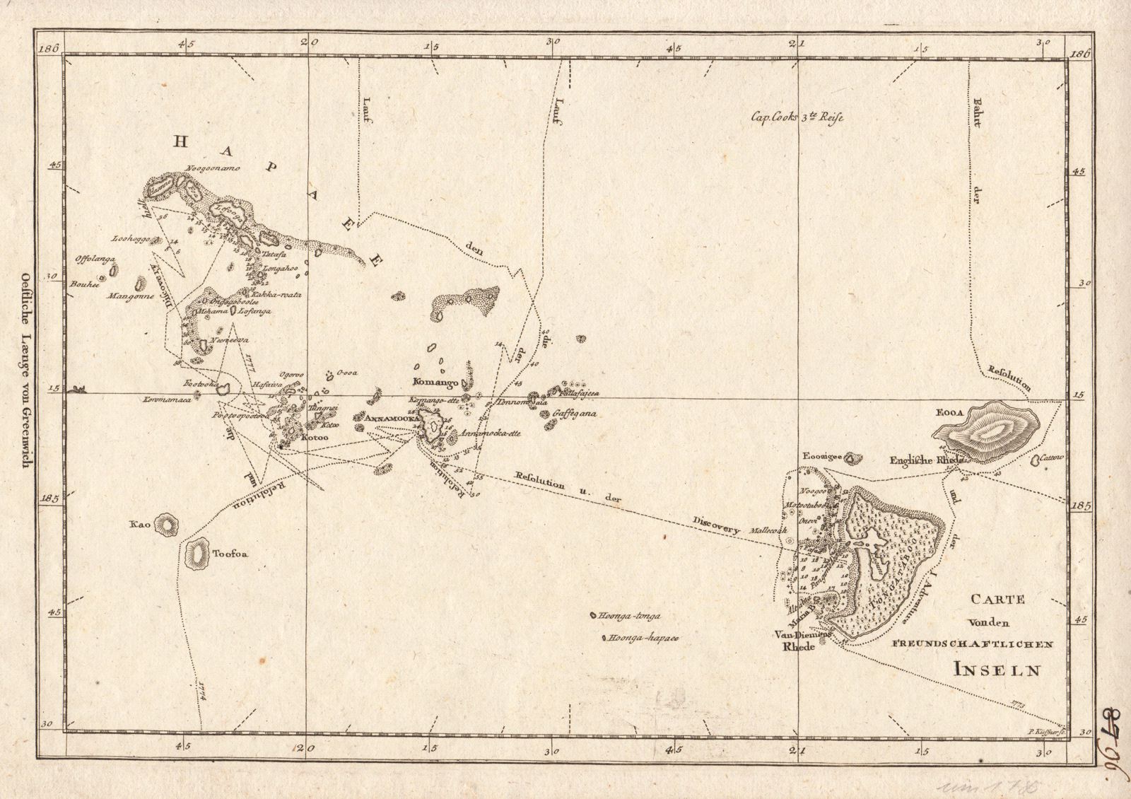
Carte von den Freundschaftlichen Inseln
This item has been sold. Please check our homepage for currently available maps.
A simple but very detailed map of the Friendly Islands (Tonga), showing the route of Captain Cook's third voyage Item Number: G372
Cartographer:
Place & Date: Germany / 1786
Size: 14 3/4" x 9 3/8"
Condition: b&w; very light overall age toning, otherwise in excellent condition
Price: SOLD