
use +/- or mouse scrollwheel for magnification. click here for full-sized image.
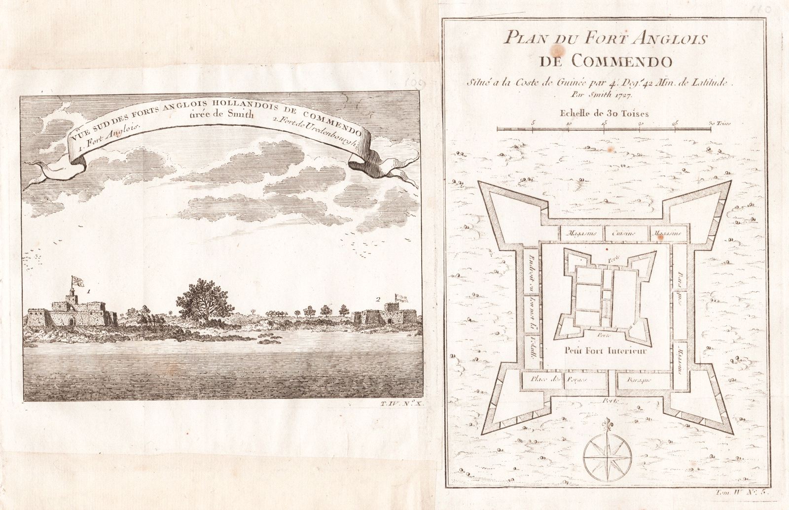
1) Vue Sud des Forts Anglois Hollandais de Commendo 2) Plan du Fort Anglois de Commendo
This item has been sold. Please check our homepage for currently available maps.
A south prospect of the British Fort Komenda and Dutch Fort Vredenburgh on the left bank of the Komenda River on the Gold Coast of present-day Ghana and a plan of the British Komenda fort on a single sheet from the atlas volume of Prévost d'Exiles' landmark collection of travel narratives, Histoire Générale des Voyages. Item Number: G2971
Cartographer: Bellin/Prevost d'Exiles
Place & Date: Paris / 1755
Size: 1) 6 7/8" x 5 1/4; 2) 5 1/2" x 8 1/4"
Condition: b&w; light overall age toning and some spottIng
Price: SOLD