
use +/- or mouse scrollwheel for magnification. click here for full-sized image.
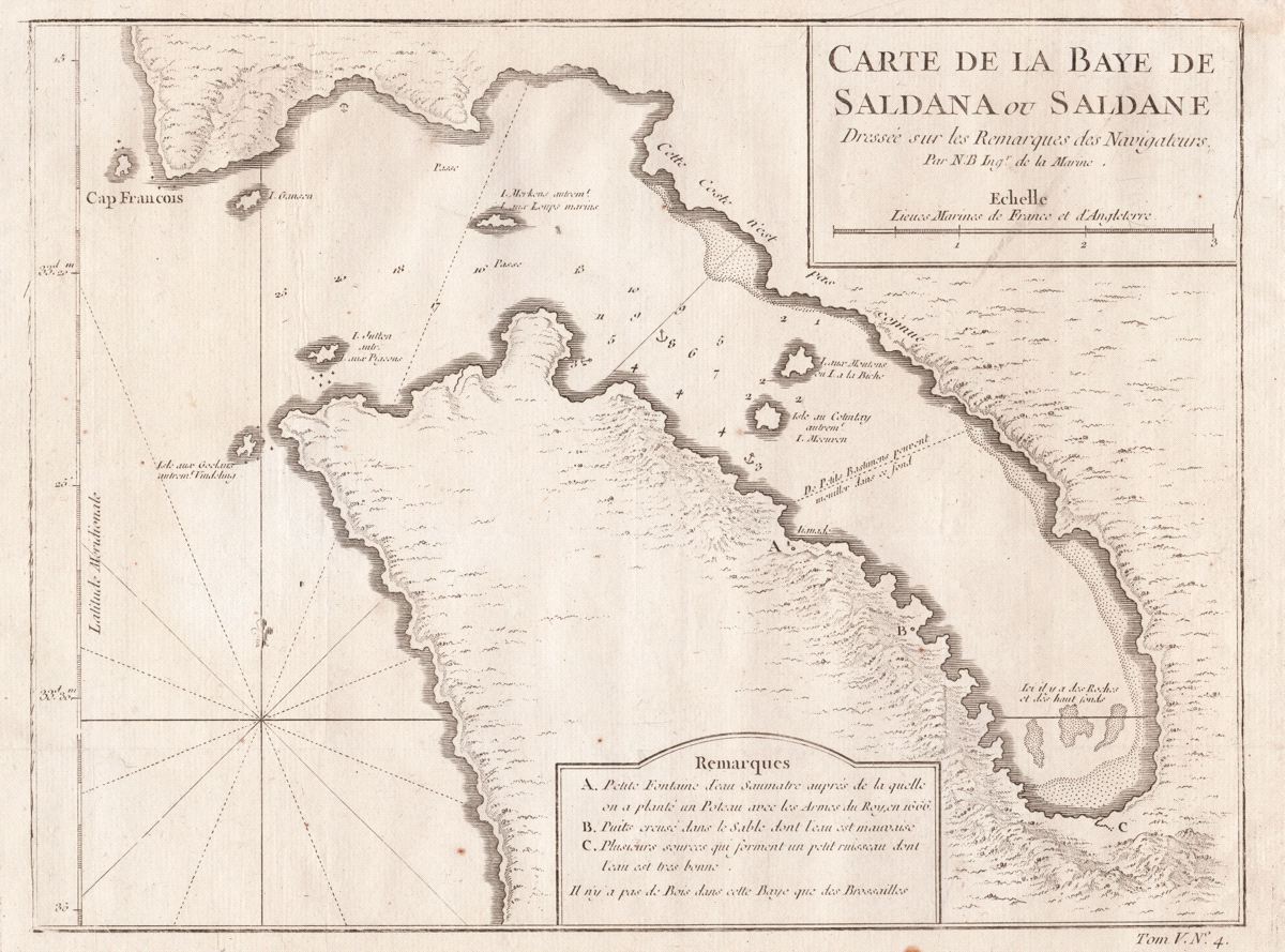
Carte de la Baye de Saldana or Saldane Dressée sur les remarques des navigateurs
This item has been sold. Please check our homepage for currently available maps.
Bellin's detailed chart of Saldanha Bay and the Langebaan Lagoon in South Africa's southwest coast (northwest of Cape Town), from the atlas volume of Prévost d'Exiles' collection of travel narratives, Histoire Générale des Voyages. Drawn from "the notes of navigators," the chart includes a key to sources of fresh water, both good and bad. Item Number: G2965
Cartographer: Bellin/Prevost d'Exiles
Place & Date: Paris / 1755
Size: 10 3/4" x 8 1/8"
Condition: b&w; light overall age toning; minor spotting, mostly in margins
Price: SOLD