
use +/- or mouse scrollwheel for magnification. click here for full-sized image.
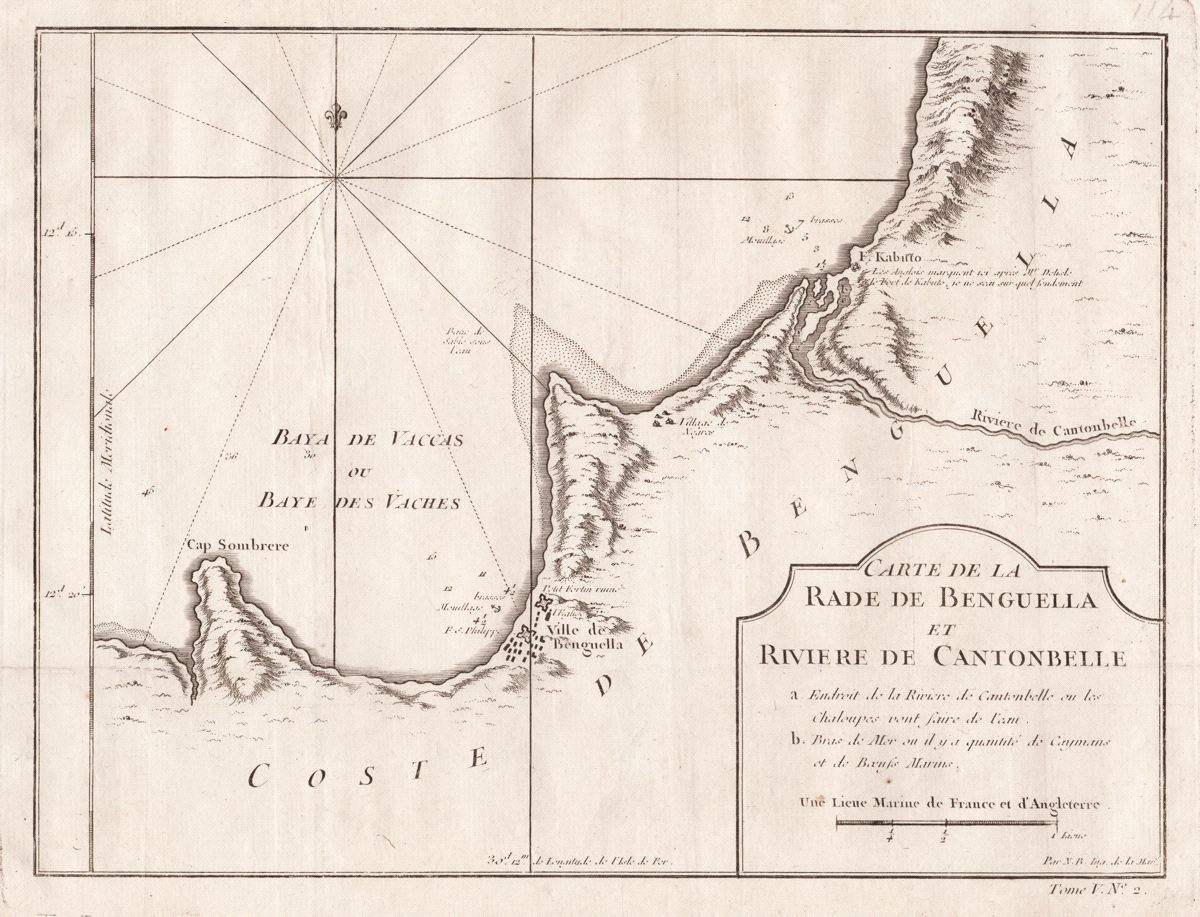
Carte de la Rade de Benguella et Riviere de Cantonbelle
Bellin's detailed chart of the coast of Benguela Province in present-day Angola, from the atlas volume of Prévost d'Exiles' collection of travel narratives, Histoire Generale des Voyages. The chart locates the town of Benguela, an important slave-trade center, and Fort Kabuto at the mouth of the Cantonbelle (Catumbela) River.
Item Number: G2963
Cartographer: Bellin/Prevost d'Exiles
Place & Date: Paris / 1755
Size: 10 5/8" x 8 1/8"
Condition: b&w; light overall age toning
Price: $65.00