
use +/- or mouse scrollwheel for magnification. click here for full-sized image.
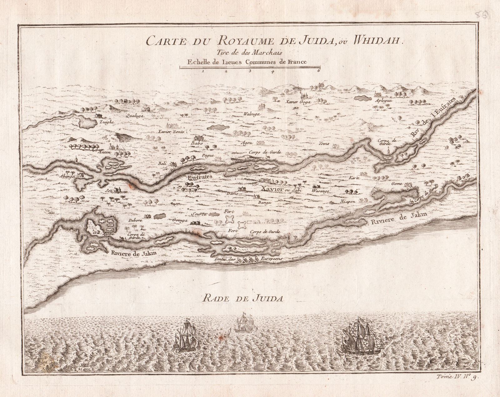
Carte du Royaume de Juida, ou Whidah Tire de des Marchais
A map of the Kingdom of Whydah on the coast of West Africa in what is now Benin, with many place names and topographical details as well as the sites of European forts and tents along the coast, from Prévost d'Exiles' collection of travel narratives, Histoire Generale des Voyages.
Item Number: G2955
Cartographer: Bellin/Prevost d'Exiles
Place & Date: Paris / 1755
Size: 10 5/8" x 8 1/4"
Condition: b&w; light overall age toning, minor spotting
Price: $65.00