
use +/- or mouse scrollwheel for magnification. click here for full-sized image.
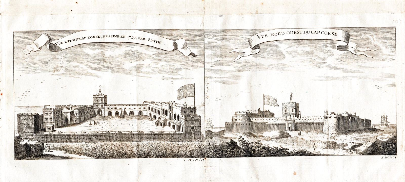
1. Vue Est du Cap Corse, Dessine en 1727, par Smith 2. Vue Nord Ouest du Cap Corse
This item has been sold. Please check our homepage for currently available maps.
Two views, from the east and from the northwest, of the British Cape Coast (Cap Corse) Castle on the Gold Coast of West Africa (today's Ghana), on a single composite page of the atlas volume of Prévost d'Exiles' influential collection of travel narratives, Histoire Générale des Voyages. Founded as a trading station by the Portuguese in 1555, Cape Coast was one of the many "slave castles" built by European powers to hold enslaved Africans before the hellish trans-Atlantic Middle Passage crossing to the Americas. Item Number: G2949
Cartographer: Bellin/Prevost d'Exiles
Place & Date: Paris / 1755
Size: 6 7/8" x 4 5/8" (each image)
Condition: b&w; light overall age toning, minor spotting in margins
Price: SOLD