
use +/- or mouse scrollwheel for magnification. click here for full-sized image.
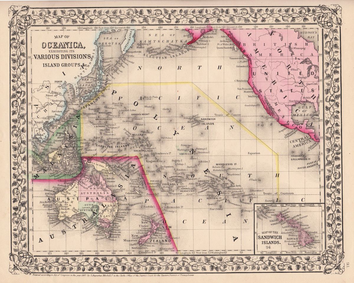
Map of Oceanica, Exhibiting its Various Divisions, Island Groups &c.
This item has been sold. Please check our homepage for currently available maps.
The beautifully detailed and colored map of the Pacific, encompassing East Asia, Malaysia, Australasia (New Guinea, Australia, New Zealand), the island groups of Oceania, and a large part of North and Central America, from the 1870 edition of Mitchell's popular New General Atlas of the world. Framed by the decorative vine motif border typical of Mitchell maps of the mid-1860s to 1881, the map includes an inset of the Sandwich Islands (Hawaii). Item Number: G2771
Cartographer: S. A. Mitchell
Place & Date: Philadelphia / 1867/1870
Size: 13 1/4" x 10 3/4"
Condition: full color; overall age toning
Price: SOLD