
use +/- or mouse scrollwheel for magnification. click here for full-sized image.
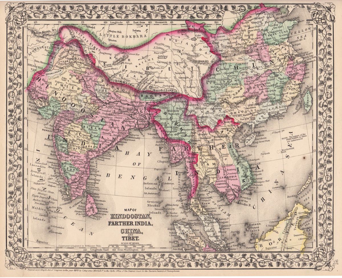
Map of Hindoostan, Farther India, China, and Tibet.
This item has been sold. Please check our homepage for currently available maps.
The beautifully detailed and colored map of south and east Asia, encompassing the Indian subcontinent, Tibet, China, Taiwan, and "Farther India" (Southeast Asia), from the 1870 edition of Mitchell's popular New General Atlas of the world. Framed by the decorative vine motif border typical of Mitchell maps of the mid-1860s to 1881, the map includes such details as the Great Wall and Grand Canal in China and a note describing Kun Chinginga Mountain as the "highest known Mt. of the Globe." Item Number: G2770
Cartographer: S. A. Mitchell
Place & Date: Philadelphia / 1870
Size: 13 3/4" x 11 3/8"
Condition: full color; light overall age toning; small spot on lower right side of map
Price: SOLD