
use +/- or mouse scrollwheel for magnification. click here for full-sized image.
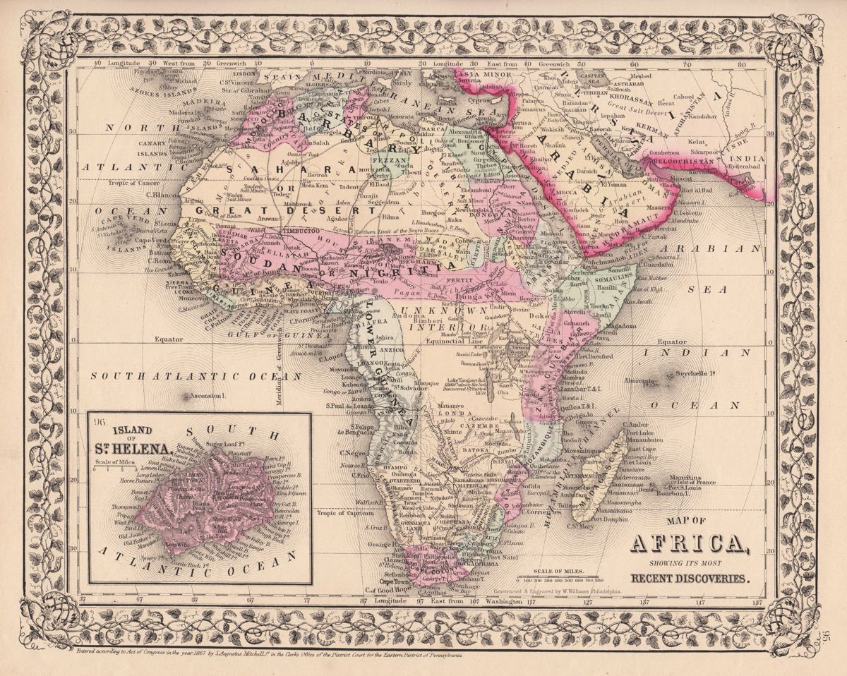
Map of Africa, showing its most Recent Discoveries.
This item has been sold. Please check our homepage for currently available maps.
A beautifully colored exemplar of the African continent map from the 1870 edition of Mitchell's popular New General Atlas of the world. Framed by the decorative vine motif border typical of Mitchell maps of the mid-1860s to 1881, the well detailed map includes such "recent discoveries" as Lake Tanganyika and Lake Victoria, trans-Saharan caravan routes, and many European coastal settlements and trading posts. The inset map on the lower left is of the island of St. Helena. Item Number: G2766
Cartographer: S. A. Mitchell
Place & Date: Philadelphia / 1867/1870
Size: 13 1/8" x 10 3/4"
Condition: full color; light overall age toning
Price: SOLD