
use +/- or mouse scrollwheel for magnification. click here for full-sized image.
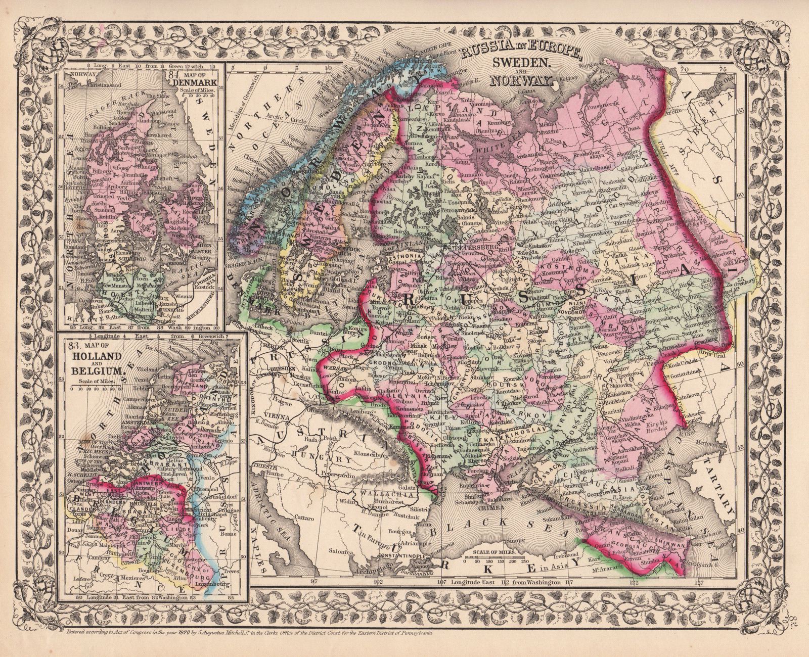
Russia in Europe, Sweden, and Norway
This item has been sold. Please check our homepage for currently available maps.
The beautifully detailed and colored map of Scandinavia and European Russia (encompassing present-day Finland, the Baltic States, most of Poland, Belarus and Ukraine), from the 1870 edition of Mitchell's popular New General Atlas of the world. Framed by the decorative vine motif border typical of Mitchell maps of the mid-1860s to 1881, the Russia/Scandinavia map includes two large and highly detailed insets: a map of Denmark and a map of Holland and Belgium. Item Number: G2763
Cartographer: S. A. Mitchell
Place & Date: Philadelphia / 1870
Size: 13 1/2" x 10 3/4"
Condition: full color; light overall age toning
Price: SOLD