
use +/- or mouse scrollwheel for magnification. click here for full-sized image.
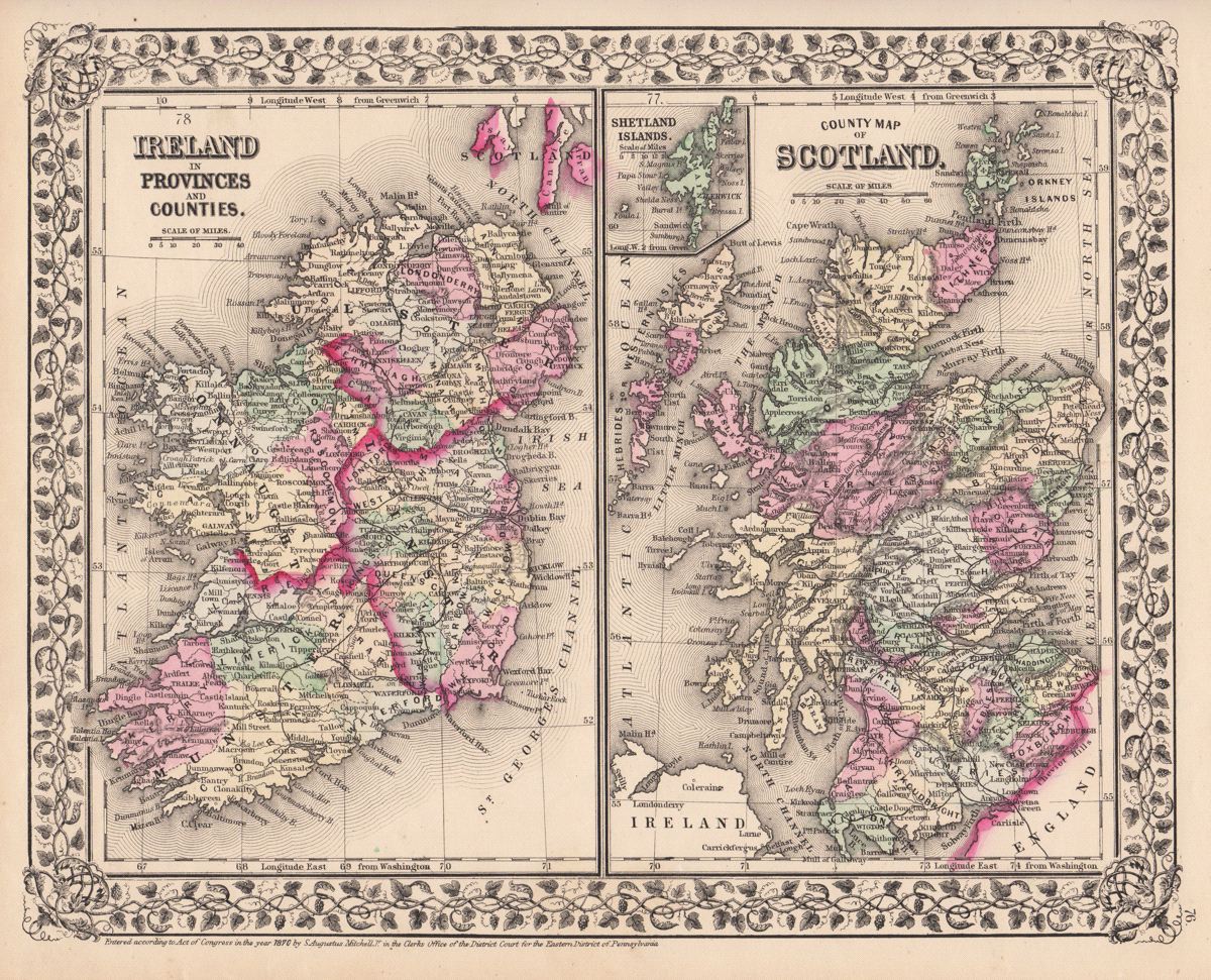
Ireland in Provinces and Counties. / County Map of Scotland.
This item has been sold. Please check our homepage for currently available maps.
Two beautifully detailed and colored province/county maps of Ireland and Scotland on a single sheet from the 1870 edition of Mitchell's popular New General Atlas of the world. The Scotland map includes a small Shetland Island inset. Both main maps are framed by the decorative vine motif border typical of Mitchell maps of the mid-1860s to 1881. Item Number: G2761
Cartographer: S. A. Mitchell
Place & Date: Philadelphia / 1870
Size: 13 3/8" x 10 3/4"
Condition: full color; light overall age toning
Price: SOLD