
use +/- or mouse scrollwheel for magnification. click here for full-sized image.
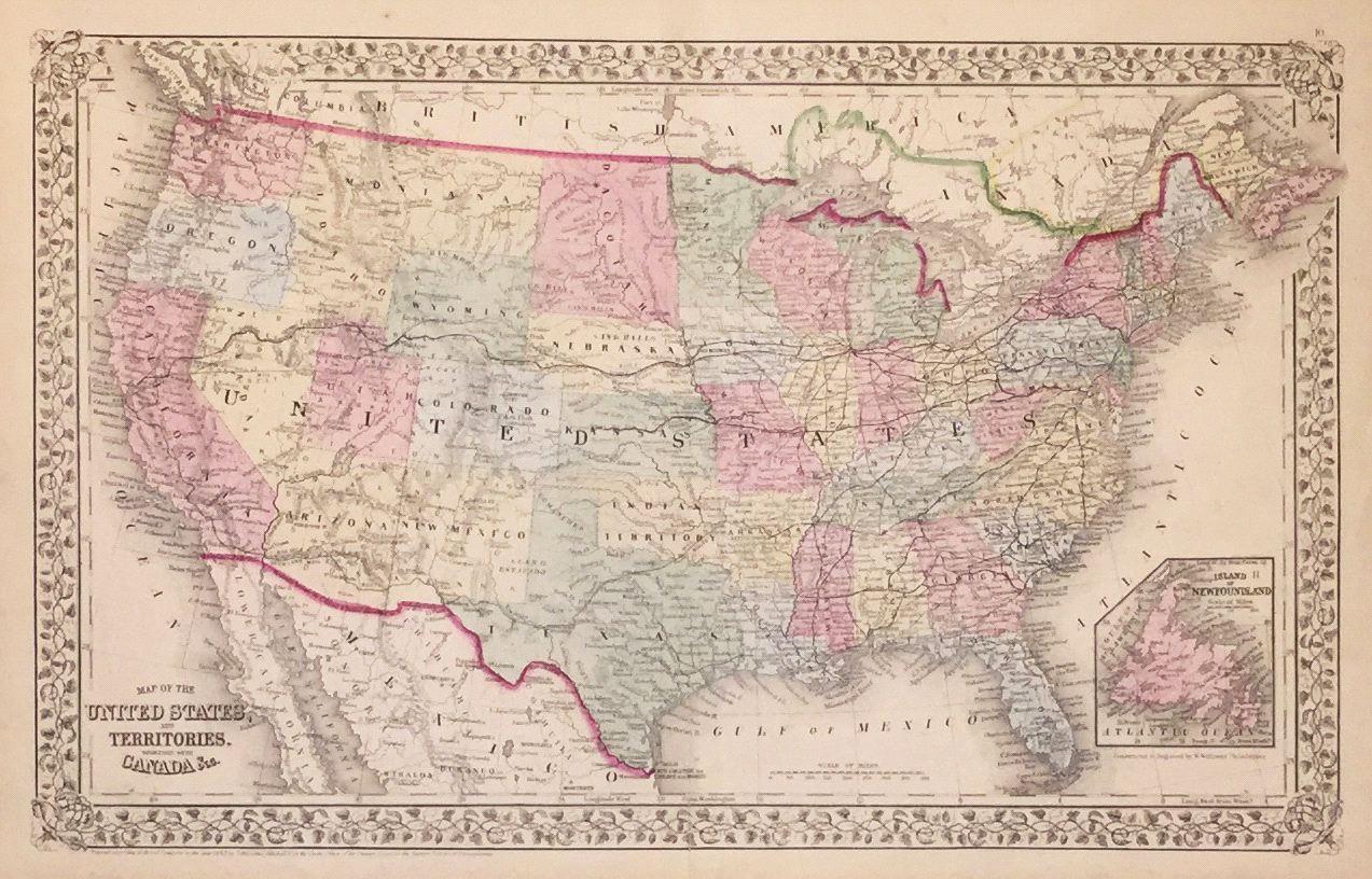
Map of the United States and Territories Together with Canada etc.
This item has been sold. Please check our homepage for currently available maps.
The beautifully detailed and colored map of the United States from the 1870 edition of Mitchell's popular New General Atlas of the world. Framed by the vine motif border typical of Mitchell maps of the mid-1860s to 1881, the map encompasses northern Mexico and the southern stretch of British North America from Vancouver Island to Nova Scotia, with Newfoundland featured in the small inset in the lower left corner of the map. Item Number: G2721
Cartographer: S. A. Mitchell
Place & Date: Philadelphia / 1870
Size: 21 1/8" x 13 1/8"
Condition: full color; overall age toning; repaired splits in lower margin
Price: SOLD