
use +/- or mouse scrollwheel for magnification. click here for full-sized image.
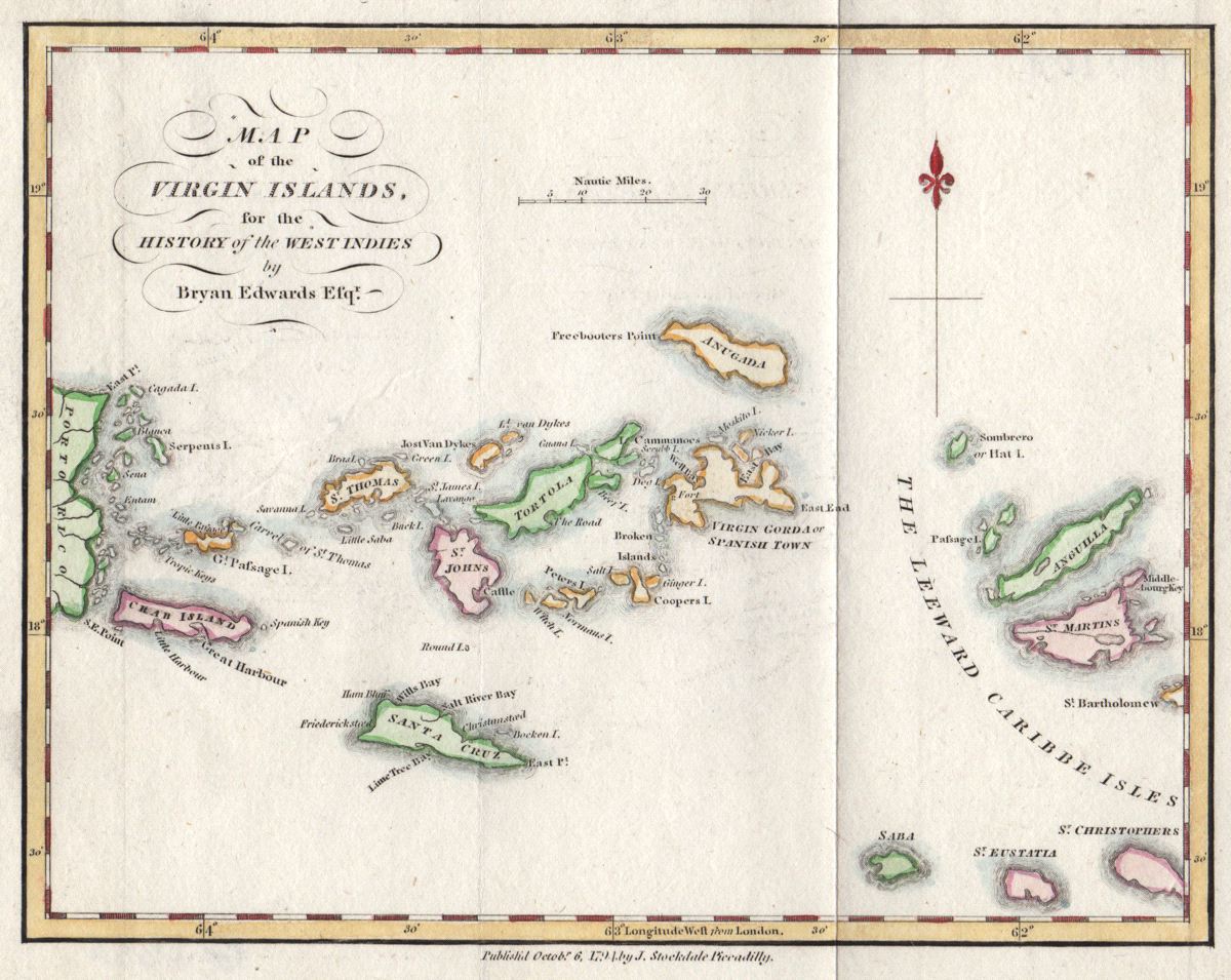
Map of the Virgin Islands
This item has been sold. Please check our homepage for currently available maps.
Edwards' map of the Virgin Islands and part of the Leewards from his History of the West Indies. The charmingly rendered (and beautifully colored and preserved) map extends from the eastern tip of Puerto Rico to Anguilla, St. Martin, and the tip of St. Bart's. Item Number: G2635
Cartographer: Bryan Edwards / Stockdale
Place & Date: London / 1794
Size: 9" x 7"
Condition: wash color
Price: SOLD