
use +/- or mouse scrollwheel for magnification. click here for full-sized image.
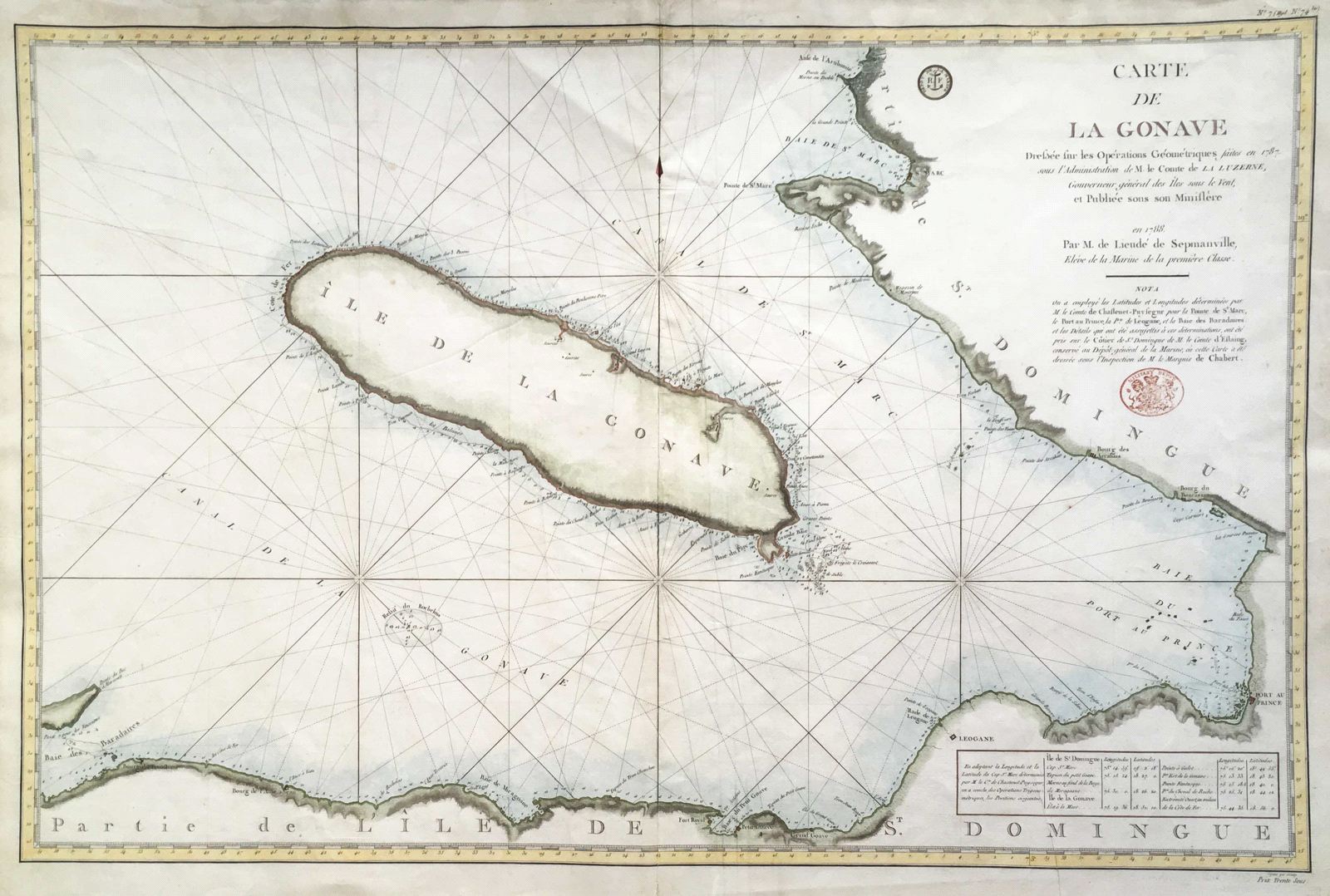
Carte de La Gonave
This item has been sold. Please check our homepage for currently available maps.
A scarce, large-scale Depot de la Marine chart of the gulf and the island of Gonave on the southwest coast of Haiti showing the location of Port au Prince, Leogane, St. Marc and several villages and forts. Features multiple rhumb lines, good coastal topography, as well as depth soundings, navigational hazards, anchorages, etc. Item Number: G2628
Cartographer: Depot-general de la Marine/Lieudé de Sepmanville
Place & Date: Paris / 1788
Size: 35" x 23"
Condition: wash color; overall age toning; well-repaired tear in center of map; some nicks and fraying along outer edges of margins
Price: SOLD