
use +/- or mouse scrollwheel for magnification. click here for full-sized image.
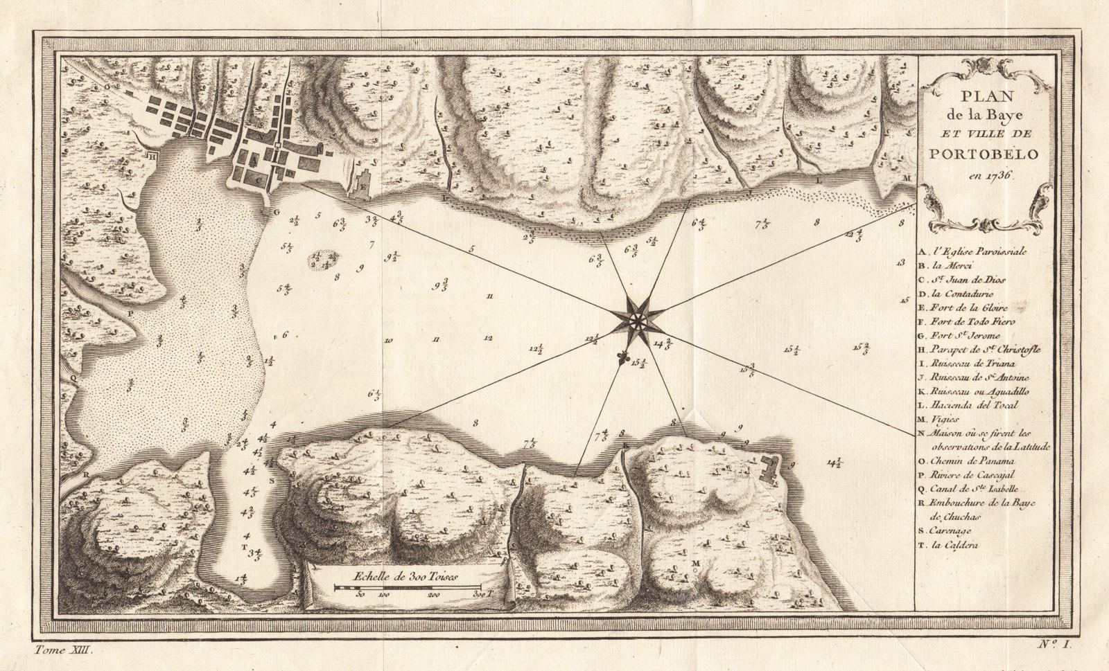
Plan de la Baye et Ville de Portobelo en 1736
This item has been sold. Please check our homepage for currently available maps.
Bellin's detailed chart of the bay and town of Portobelo, Panama, based on Jorge & Ulloa's version, with a letter key to the region's natural and man-made features and sites. Item Number: G240
Cartographer: Bellin
Place & Date: Paris / 1756
Size: 12 7/8" x 7 5/8"
Condition: b&w; overall age toning; with folds as issued
Price: SOLD