
use +/- or mouse scrollwheel for magnification. click here for full-sized image.
Rand McNally 14 x 21 Inch Map of Porto Rico
This item has been sold. Please check our homepage for currently available maps.
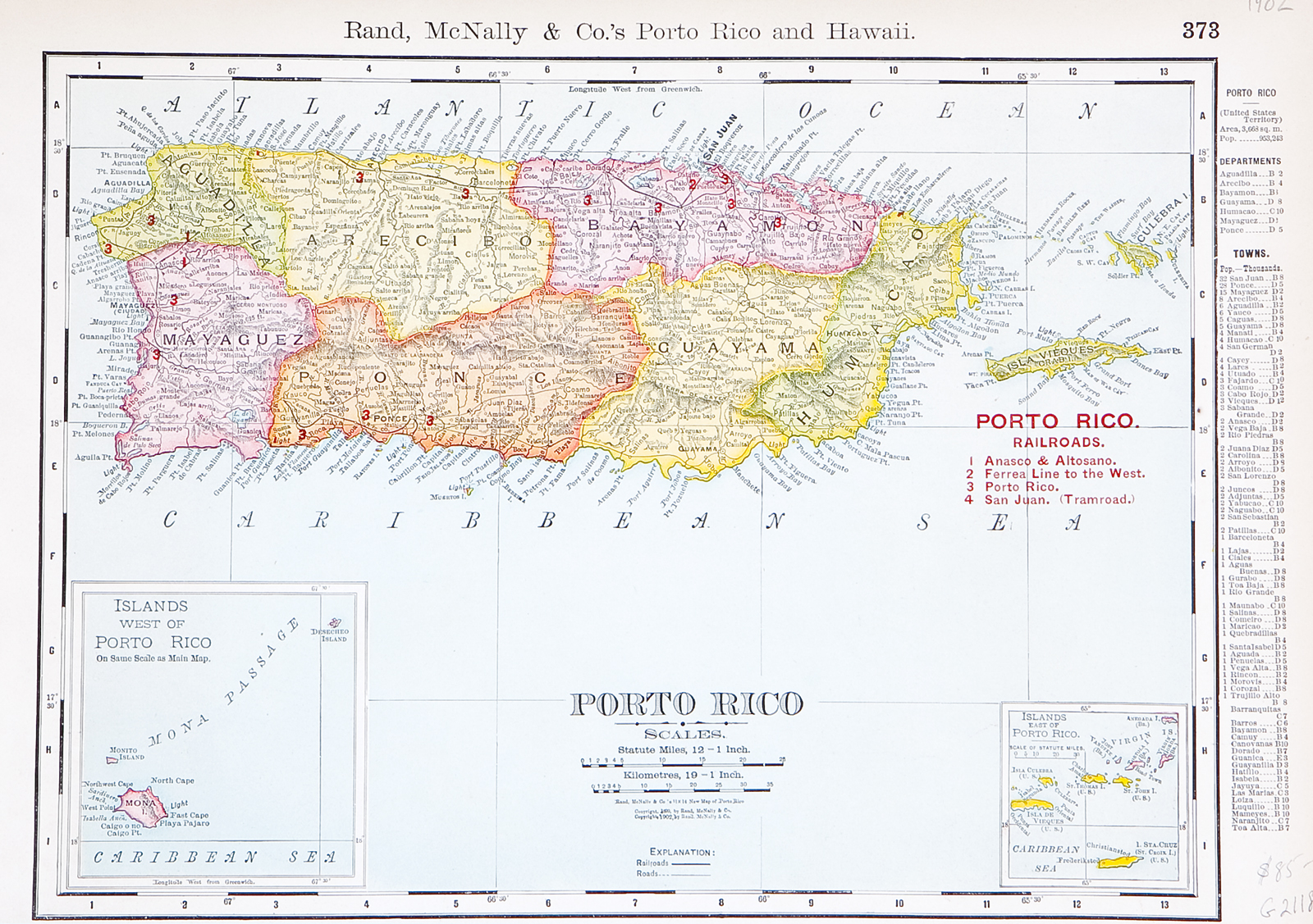
A large detailed Puerto Rico map showing the island divided into seven provinces and featuring many place names, roads, railroads, etc, from Rand McNally's Commercial Atlas of America. Below the main map are two insets: Islands west of Puerto Rico and the Virgin Islands. Item Number: G2119
Cartographer: Rand McNally
Place & Date: Chicago / 1922
Size: 19" x 12 1/2'"
Condition: light overall age toning
Price: SOLD