
use +/- or mouse scrollwheel for magnification. click here for full-sized image.
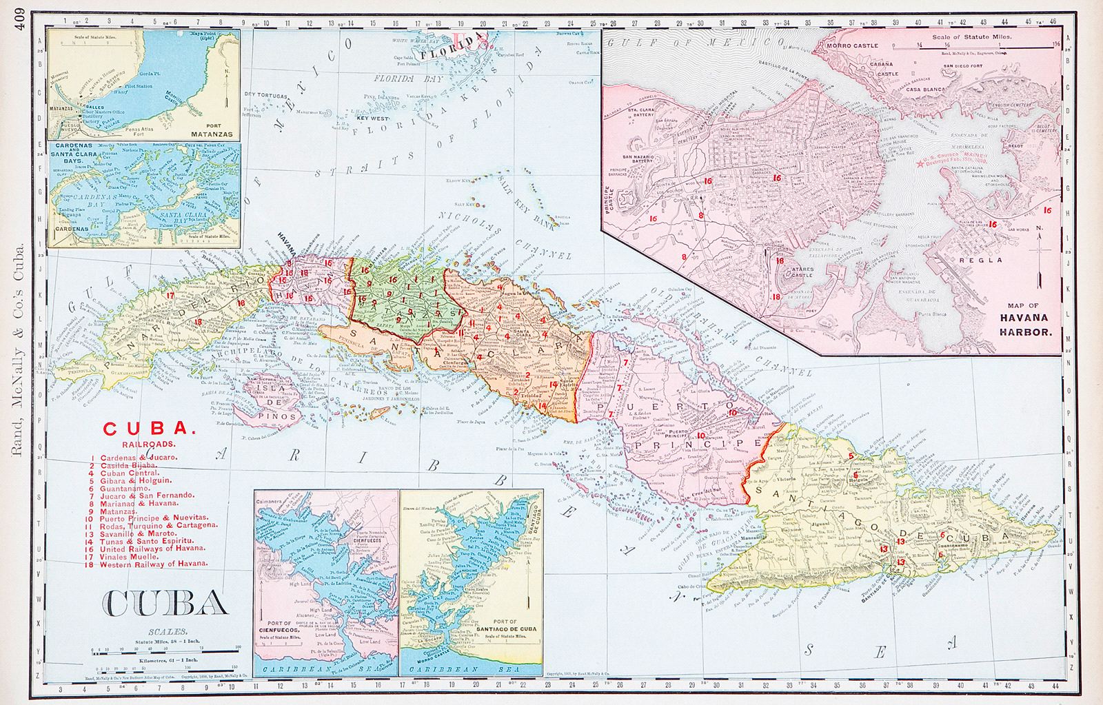
Cuba.
This item has been sold. Please check our homepage for currently available maps.
A meticulously detailed map of the island showing 18 railroad lines, all station stops, clear topography, and countless towns and place names, with inset plans of Havana Harbor, Port Matanzas, Cardenas and Santa Clara Bays, Cienfuegos, and Santiago. Item Number: G2114
Cartographer: Rand-McNally
Place & Date: Chicago / 1901
Size: 19 1/2 x 12 3/8"
Condition: full-color lithograph; overall age toning evident mostly in the margins
Price: SOLD