
use +/- or mouse scrollwheel for magnification. click here for full-sized image.
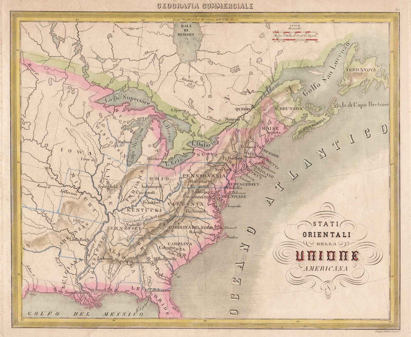
Stati Orientali della Unione Americana
This item has been sold. Please check our homepage for currently available maps.
An interesting and scarce 19th-century Italian map of the "eastern States of the American union," with fairly fanciful state boundaries. The title is set in a decorative calligraphic cartouche. Item Number: G1961
Cartographer: F.C. Marmocchi
Place & Date: Milan / 1858
Size: 13 3/8" x 11"
Condition: outline wash color; overall age toning
Price: SOLD