
use +/- or mouse scrollwheel for magnification. click here for full-sized image.
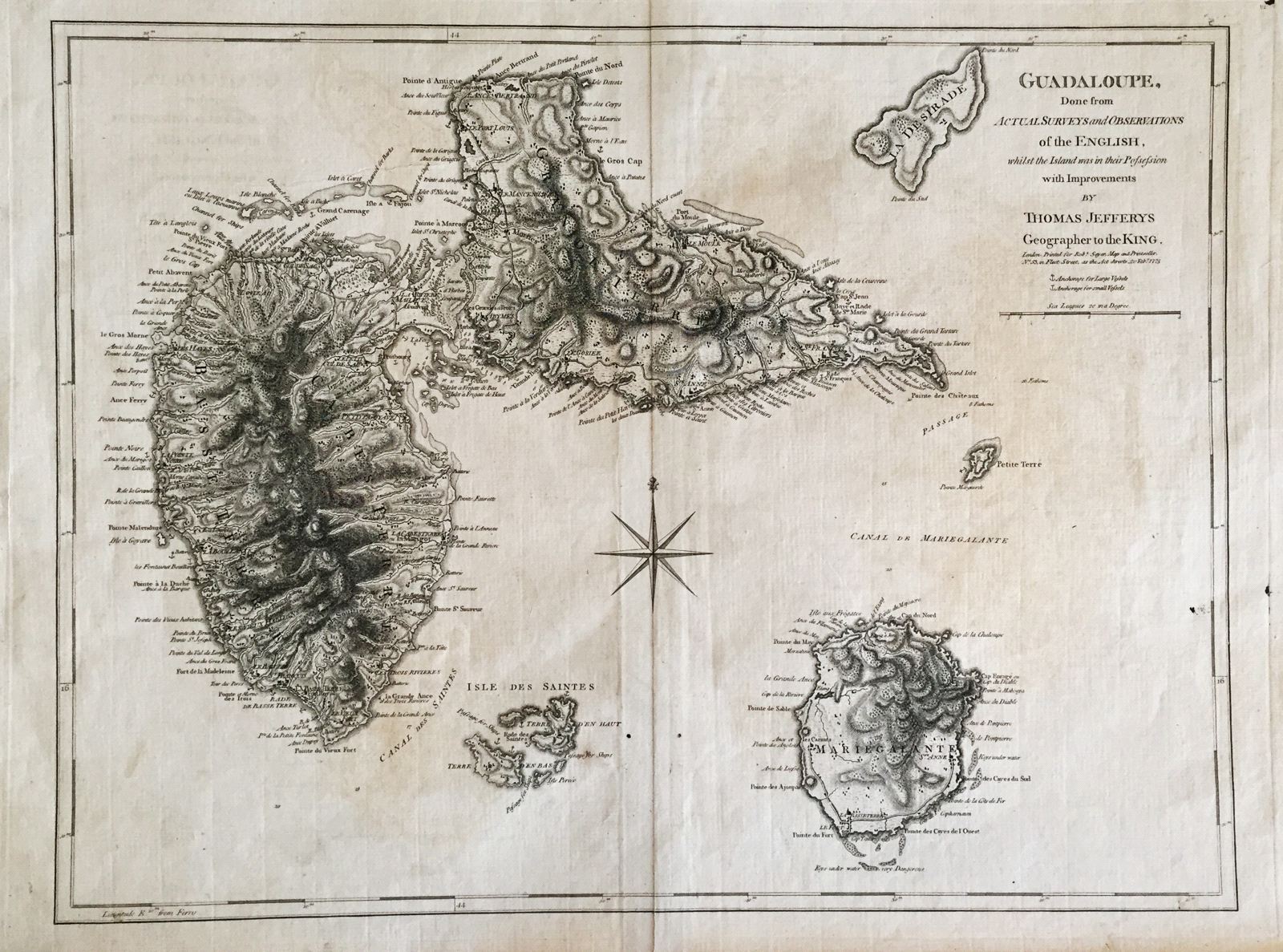
Guadeloupe, Done from Actual Surveys and Observations of the English
This item has been sold. Please check our homepage for currently available maps.
Jefferys' superbly detailed map of Guadeloupe, Marie Galante, les Saintes, and La Desirade, showing detailed topography, roads, settlements, anchorages, soundings and many place names. From Jeffery's West India Atlas. Item Number: G1440
Cartographer: Jefferys / Sayer
Place & Date: London / 1775
Size: 24 1/8" x 18 1/4"
Condition: b&w; a split in the upper margin; light overall age-toning and minor overprinting
Price: SOLD