
use +/- or mouse scrollwheel for magnification. click here for full-sized image.
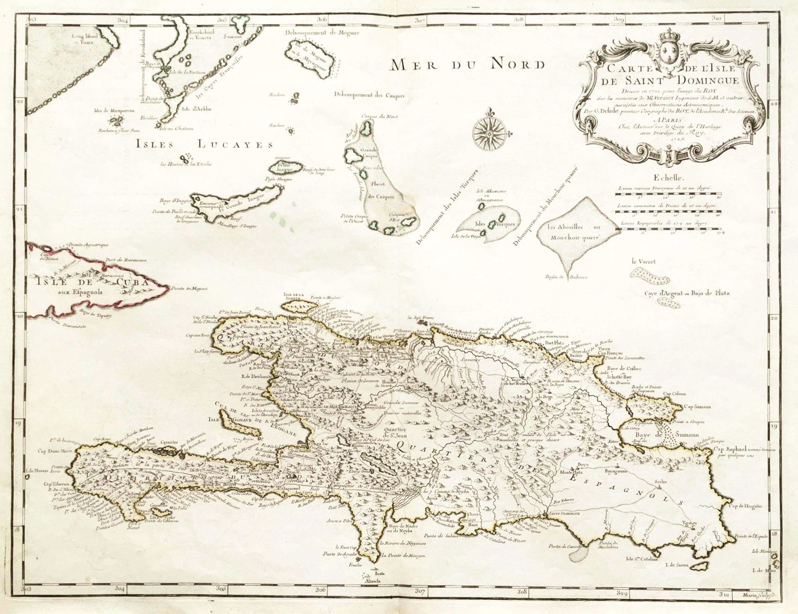
Carte de l'Isle de Saint Domingue
This item has been sold. Please check our homepage for currently available maps.
The original French edition of de l'Isle's superb and influential map of Santo Domingo island, one of the first to show Frezier's more accurate outline of the island. De l'Isle's Saint Domingue is rich in topographical details, place names and notes, and is topped by a magnificent title cartouche with the French royal crest. Item Number: G113
Cartographer: de l'Isle
Place & Date: Paris / 1725
Size: 24 3/4" x 19
Condition: outline color; some light age toning and overprinting, a few color spots under Great Inagua in the Bahamas, otherwise a well preserved exemplar
Price: SOLD