
use +/- or mouse scrollwheel for magnification. click here for full-sized image.
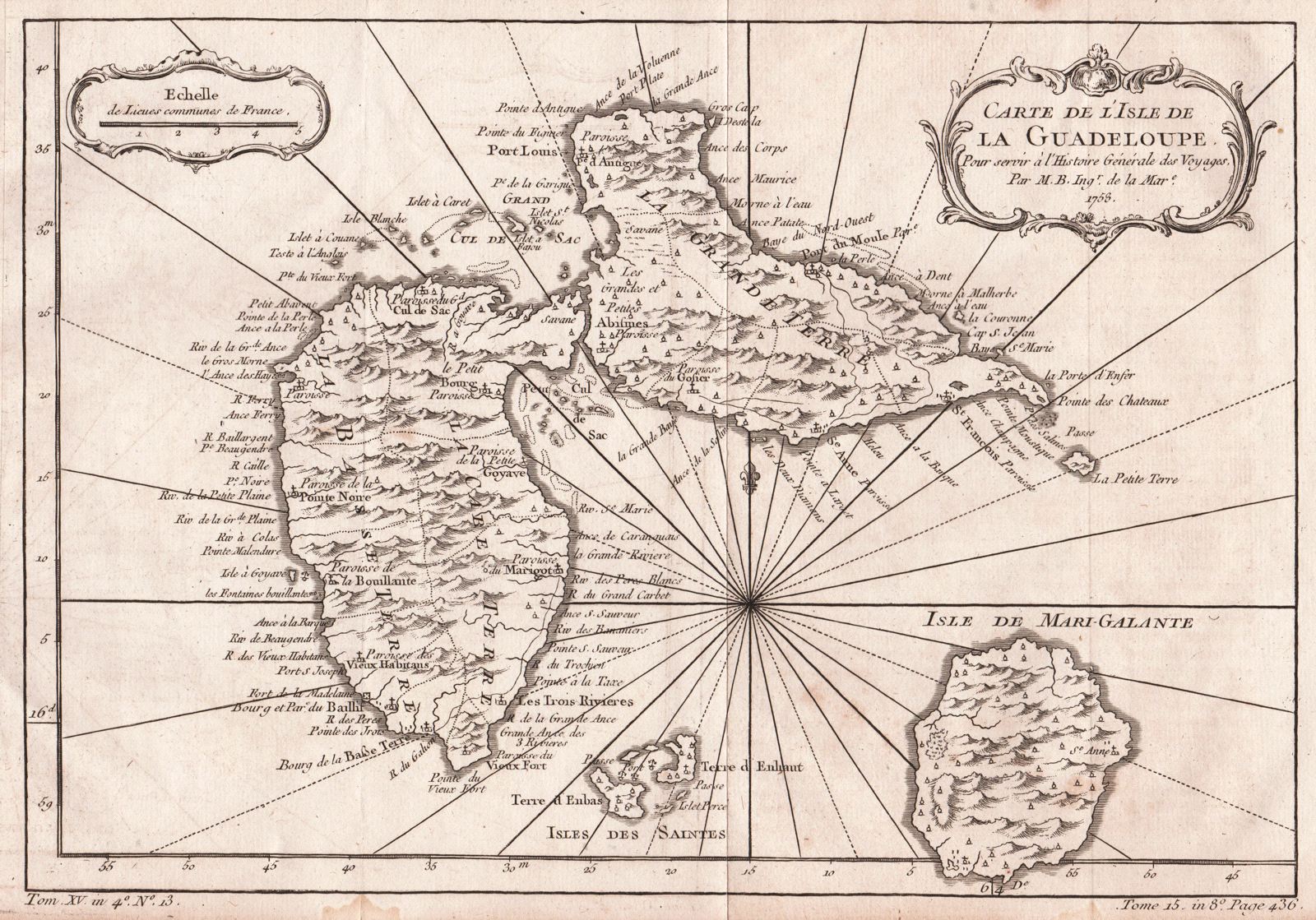
Carte de l'Isle de la Guadeloupe.
This item has been sold. Please check our homepage for currently available maps.
An elegant map of Guadeloupe and the adjacent islands of Les Sainte and Marie Galante, with excellent topographical details, many place names, radiating rhumb lines, and two rococo cartouches (title and mileage scale). From Prévost's Histoire Générale des Voyages. Item Number: G061
Cartographer: Nicolas Bellin
Place & Date: Paris / 1758
Size: 12 1/2" x 8 3/4"
Condition: B&W; overall age-toning and some spotting primarily in margins
Price: SOLD