
use +/- or mouse scrollwheel for magnification. click here for full-sized image.
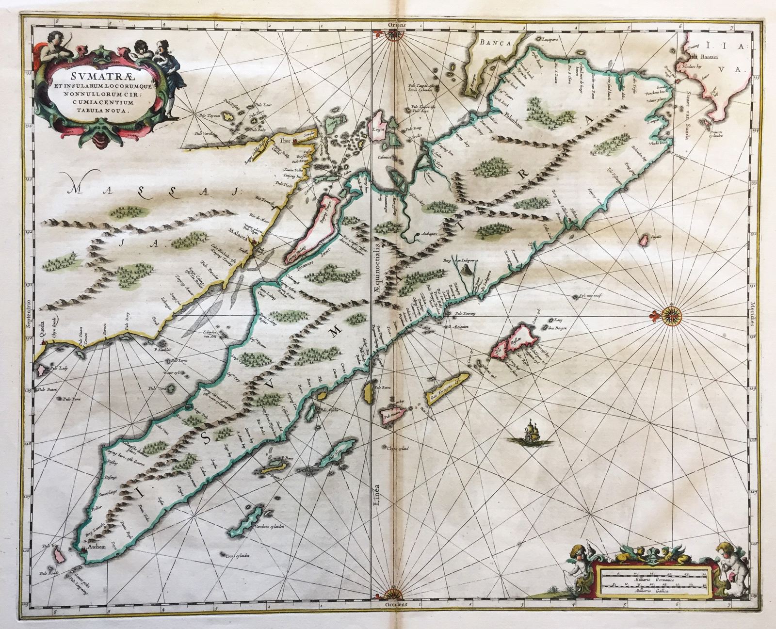
Sumatrae et Insularum Locorumque . . . Tabula Nova.
This item has been sold. Please check our homepage for currently available maps.
One of the few 17th century Dutch maps to focus on the Strait of Malacca, Jansson's Sumatra chart, from Part V of his Atlas Novus, is oriented with North to the left and features two delightful cartouches: a title cartouche with three allegorical figures and a mileage scale with two surveying angels. Item Number: G056
Cartographer: Jan Jansson
Place & Date: Amsterdam / 1652
Size: 20 1/2" x 16 3/4"
Condition: Minor age browning, especially at fold, as is common in Jansson maps
Price: SOLD