
use +/- or mouse scrollwheel for magnification. click here for full-sized image.
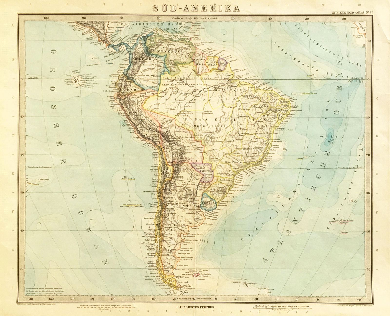
Sud Amerika
This item has been sold. Please check our homepage for currently available maps.
A splendid projection with remarkably clear topography and the latest boundary changes as of the late 1880s, from Steiler's Hand-Atlas, published by Justus Perthes. Item Number: 557
Cartographer: Salzmann
Place & Date: Gotha / 1889
Size: 16" x 14"
Condition: wash and outline color; overall age toning, repaired nicks and tears in margins
Price: SOLD