
use +/- or mouse scrollwheel for magnification. click here for full-sized image.
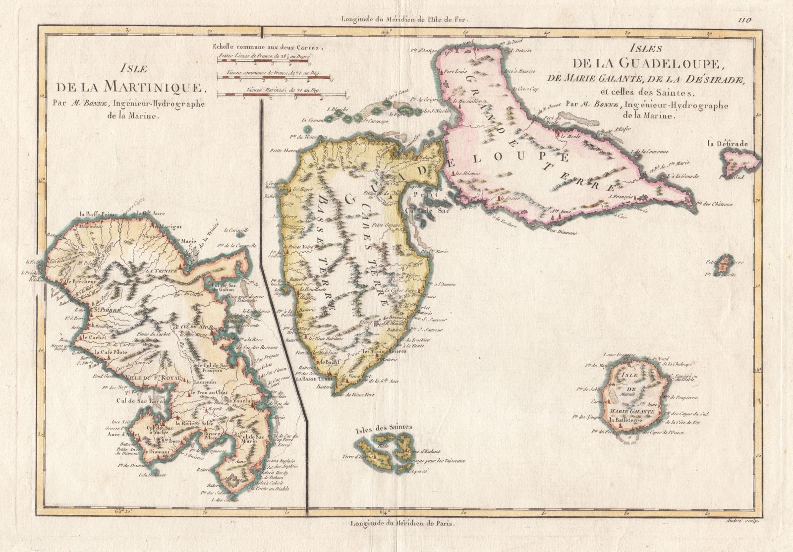
Isle de la Martinique/Isles de la Guadeloupe, de Marie Galante, de la Desirade, et celles des Saintes.
This item has been sold. Please check our homepage for currently available maps.
Two maps, one of Martinique, the other of Guadeloupe and its adjacent islands, on one sheet from Bonne's Atlas Encylopédique, A nicely colored and detailed example of late 18th-century French cartography. Item Number: 482
Cartographer: Rigobert Bonne
Place & Date: Paris / 1787
Size: 14" x 9 1/2"
Condition: wash and outline color; light overall age toning
Price: SOLD