
use +/- or mouse scrollwheel for magnification. click here for full-sized image.
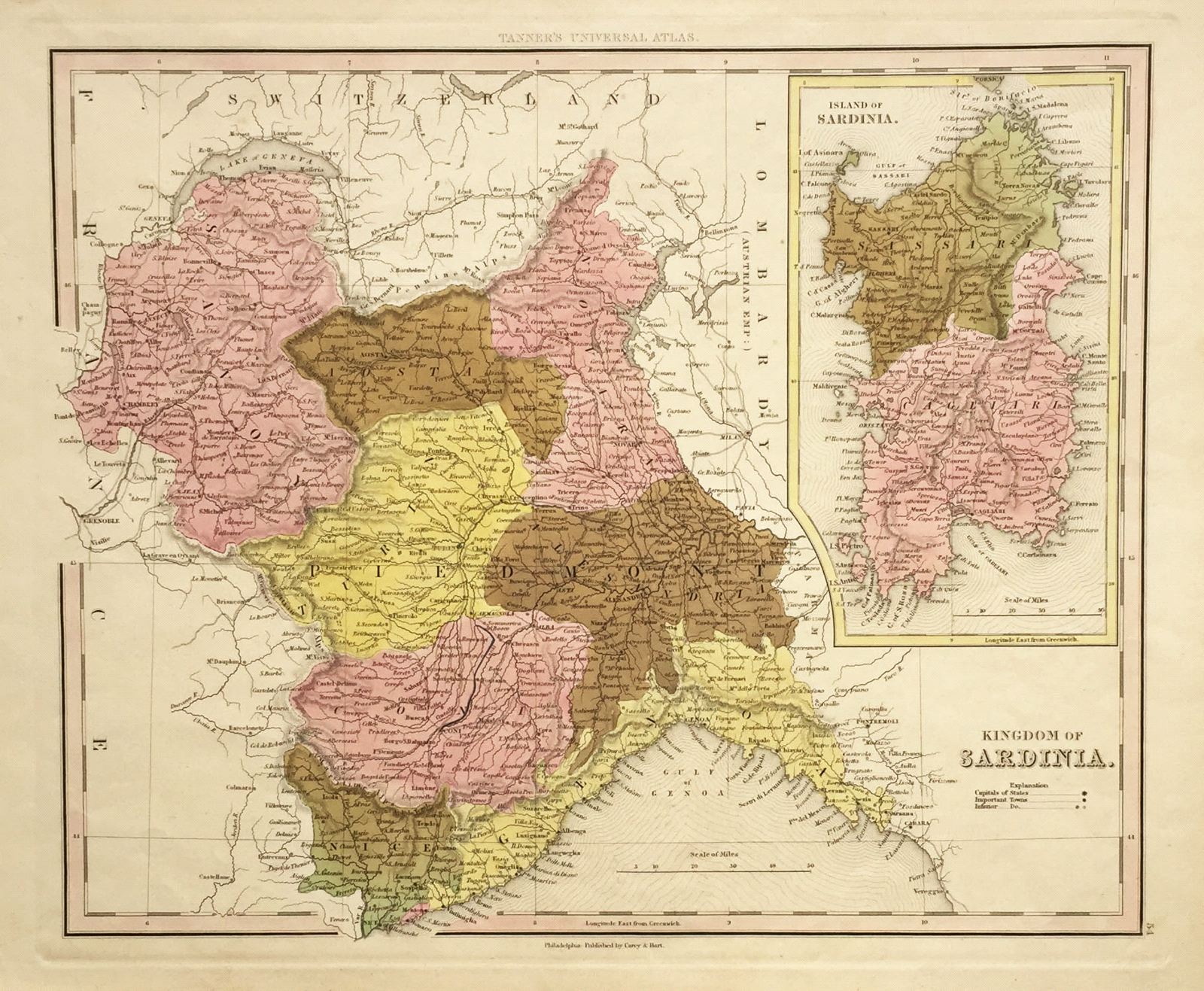
Kingdom of Sardinia/Island of Sardinia.
This item has been sold. Please check our homepage for currently available maps.
The wonderfully detailed map of the island of Sardinia, divided into the provinces of Sassari and Cagliari, is an inset in the larger-scale map of the Piedmont region in northwestern Italy, the mainland part of the Sardinian Kingdom, seat of Italy’s royal house of Savoy. A fascinating sheet from Tanner's Universal Atlas. Item Number: 409
Cartographer: Henry S. Tanner
Place & Date: Philadelphia / 1839
Size: 14 1/2" x 12"
Condition: wash color; overall age toning
Price: SOLD