
use +/- or mouse scrollwheel for magnification. click here for full-sized image.
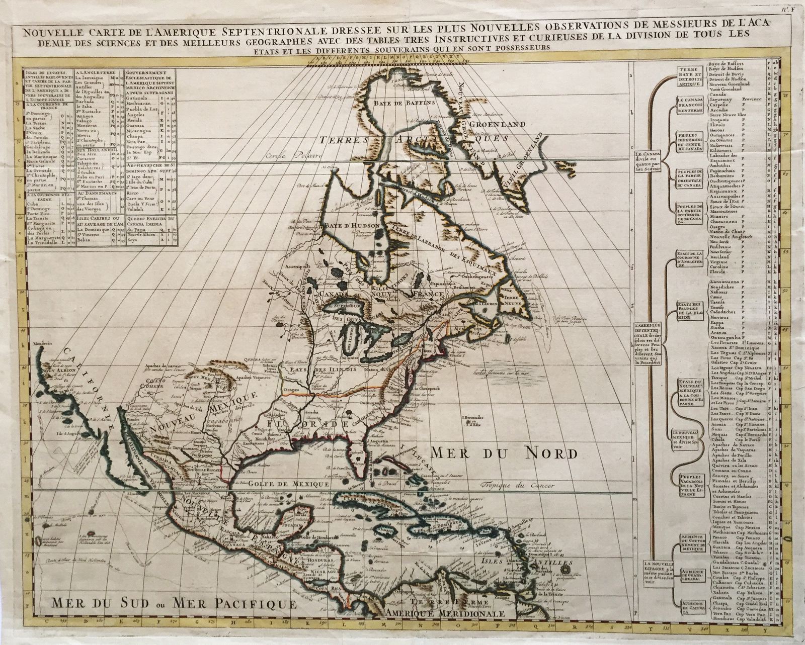
Nouvelle Carte de l'Amerique Septentrionale.
This item has been sold. Please check our homepage for currently available maps.
Chatelain's highly detailed (and beautifully colored in outline) map of North America from Baffin's Bay to the north coast of South America shows the routes of early discoverers along the Pacific coast. The Great Lakes and the Mississippi are accurately situated and California is shown as part of the mainland. The table at the upper left lists the West Indian islands by their colonial owners, as well as the territories controlled by the archbishoprics of Mexico and Santo Domingo and the bishopric of Quebec. The fascinating table on the right lists the territories of continental North America according to their colonial rulers and the native tribes dwelling within them. Item Number: 398
Cartographer: Chatelain
Place & Date: Amsterdam / 1732
Size: 23" x 18 1/2"
Condition: outline color; overall age toning; repaired split in bottom margin centerfold, not affecting printed image
Price: SOLD