
use +/- or mouse scrollwheel for magnification. click here for full-sized image.
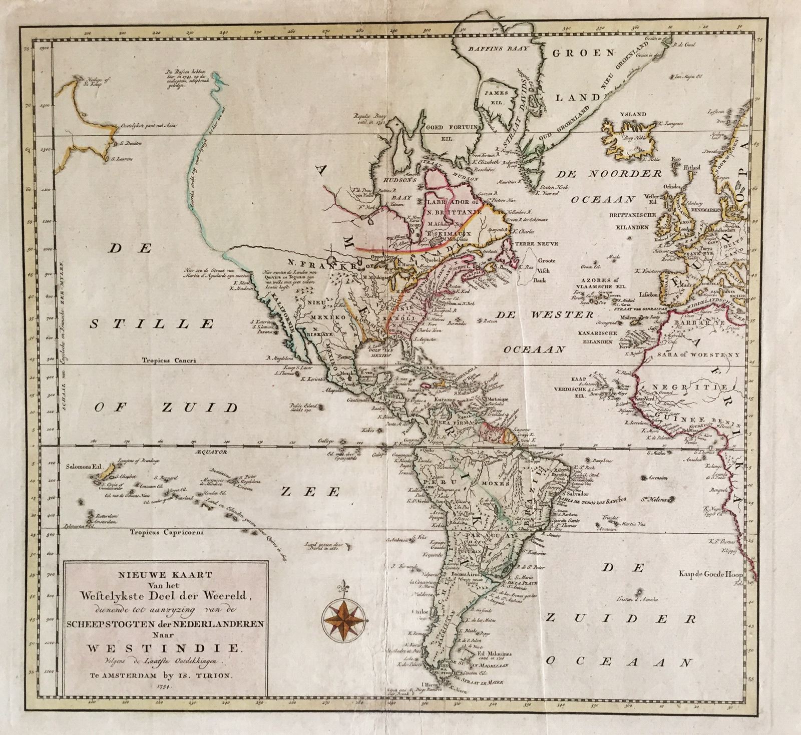
Nieuwe Kaart van het Westelykste Deel der Wereeld.
This item has been sold. Please check our homepage for currently available maps.
Tirion's Western Hemisphere map shows a great western river in North America, longer than the Mississippi, running from what is perhaps Lake Winnipeg to the Pacific. North of the river there is a tentative coastline, but the interior is blank. French Canada is squeezed between British Canada and the 13 Eastern Seaboard colonies. Several notes on borders and explorations are scattered throughout the map. Item Number: 383
Cartographer: Isaac Tirion
Place & Date: Amsterdam / 1754
Size: 14 1/4" x 13 1/4"
Condition: wash color; light overall age toning; backed to reinforce centerfold
Price: SOLD