
use +/- or mouse scrollwheel for magnification. click here for full-sized image.
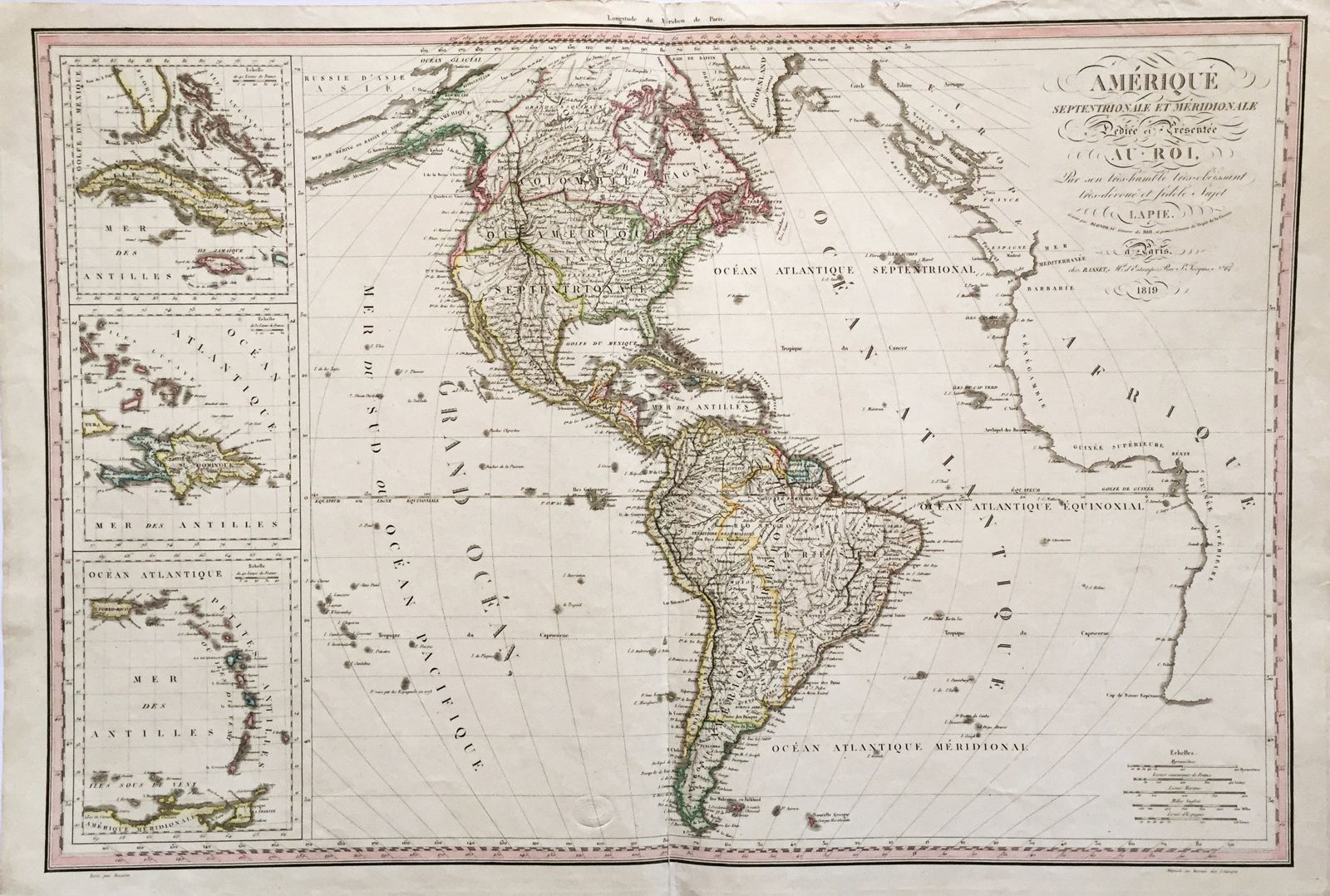
Amerique Septentrionale et Meridionale Dediee et Presentee au Roi.
This item has been sold. Please check our homepage for currently available maps.
A grand, highly detailed map of the Americas, with North America also called "Colombie," Alaska labelled "Amerique Russe," and the United States, in the wake of the Louisiana Purchase extending all the way to the Pacific. Its Pacific coast, however, is hemmed in by British Canada to the north and a strip of British territory north of California called New Albion. To the left of the main map are three inset larger-scale maps of Cuba, St. Domingue, and Puerto Rico and the Lesser Antilles. Item Number: 373
Cartographer: P. Lapie
Place & Date: Paris / 1819
Size: 29" x 20"
Condition: outline color; light overall age toning; repaired splits in top and bottom of the centerfold
Price: SOLD