
use +/- or mouse scrollwheel for magnification. click here for full-sized image.
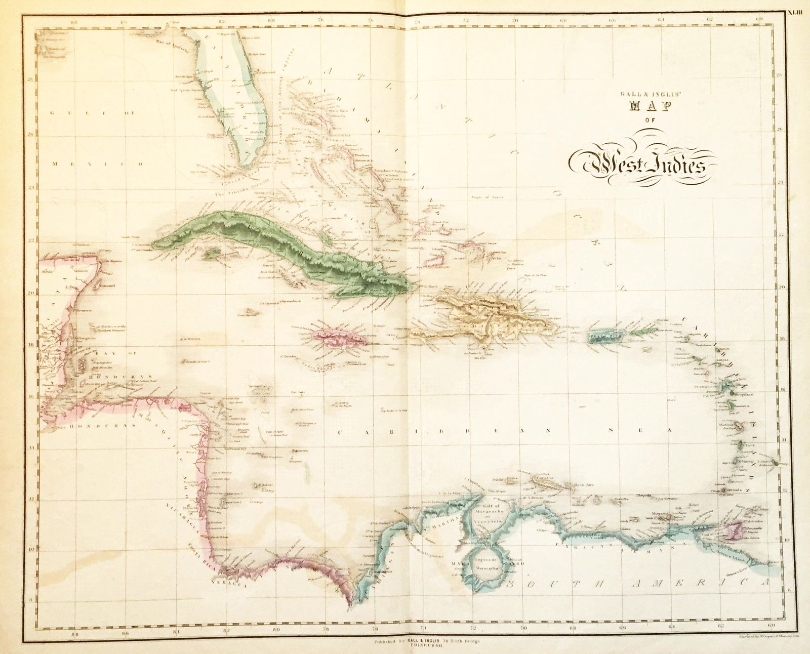
Gall & Ingalls' Map of West Indies.
This item has been sold. Please check our homepage for currently available maps.
A later edition of the large Playfair West Indies map of 1814, with bright coastal shading and detailed island topography. Item Number: 118
Cartographer: Gall & Ingalls
Place & Date: Edinburgh / 1850
Size: 22 3/4" x 18"
Condition: wash & outline color; overall age toning, light overprinting of island and coastal outline color
Price: SOLD