
use +/- or mouse scrollwheel for magnification. click here for full-sized image.
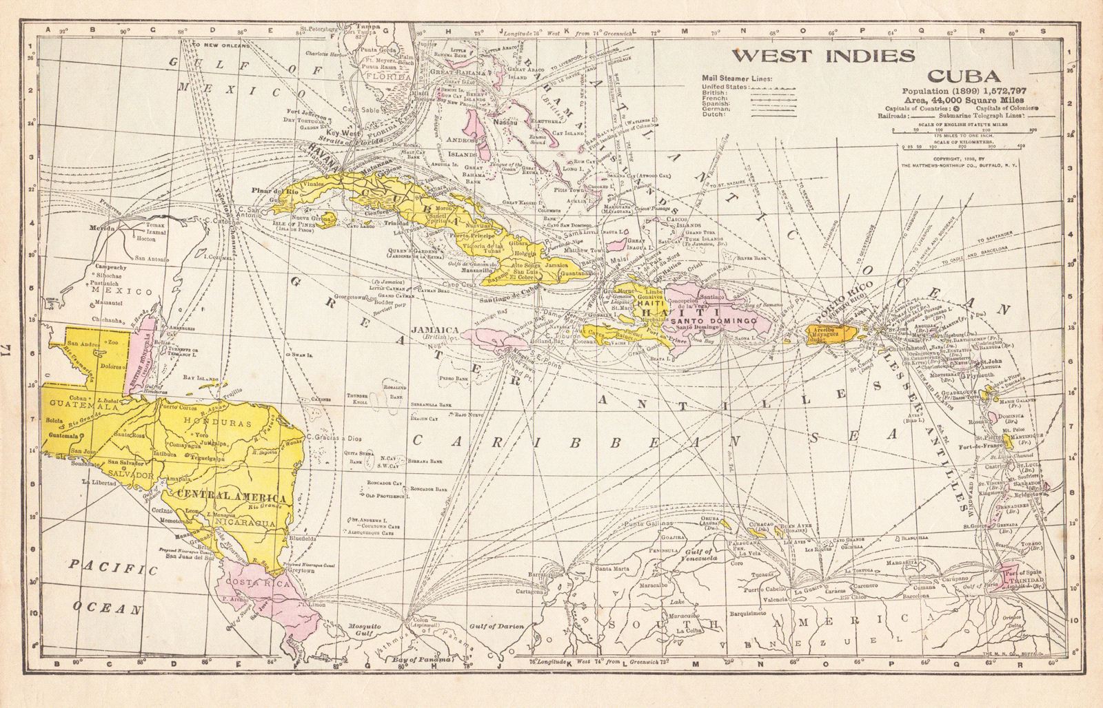
West Indies.
This item has been sold. Please check our homepage for currently available maps.
Late 19th-century atlas map of the West Indies and Central America showing extensive shipping and mail steamer routes in the region. Published just after the Spanish-American War, the map lists, under a separate heading, the population and area of Cuba, recently fought over by the United States. Item Number: 117
Cartographer: Matthews-Northrup
Place & Date: Buffalo / 1899
Size: 13" x 8"
Condition: full color; light overall age toning
Price: SOLD