
use +/- or mouse scrollwheel for magnification. click here for full-sized image.
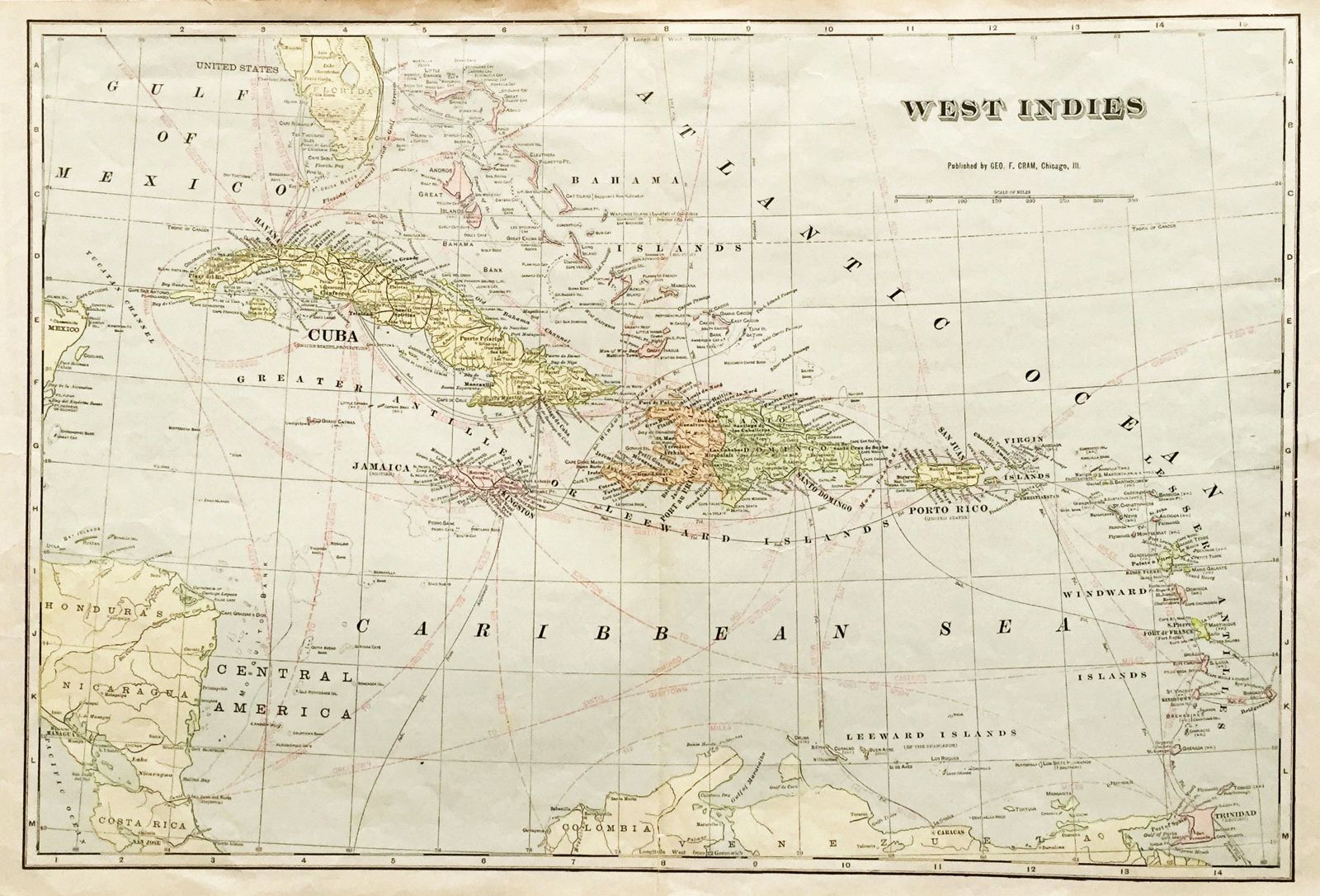
West Indies.
This item has been sold. Please check our homepage for currently available maps.
Cram's large, highly detailed map of the West Indies from his Superior Atlas of the World features many shipping routes and undersea cables. On the verso are two separate maps: "Jamaica, Haiti and Santo Domingo" (with an inset map of Puerto Rico and the Lesser Antilles) and "Bahama Islands." Item Number: 115
Cartographer: George Cram
Place & Date: Chicago / 1892
Size: 19 1/2" x 13 1/2"
Condition: full color; overall age toning, repaired splits along top and bottom of centerfold and repaired nicks along outer edges of margins
Price: SOLD