
use +/- or mouse scrollwheel for magnification. click here for full-sized image.
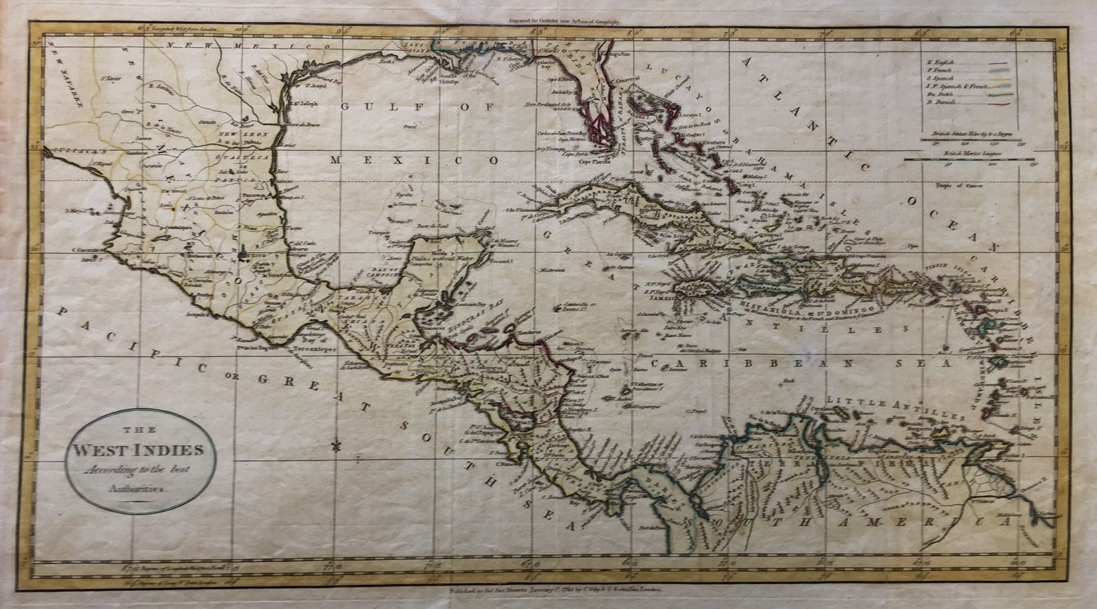
The West Indies According to the best Authorities.
This item has been sold. Please check our homepage for currently available maps.
The West Indies map from Guthrie's New System of Geography includes East and West Florida, the Mississippi Delta, and all of New Mexico, Mexico, Central America and northern South America. A color key in the upper right corner lists the region's European colonial powers. Item Number: 091
Cartographer: William Guthrie / Dilly & Robinson
Place & Date: London / 1785
Size: 20 1/2" x 11"
Condition:
Price: SOLD